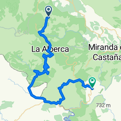
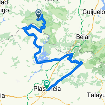
Talayuela - Peña de Francia
A cycling route starting in Nava de Francia, Castille and León, Spain.
Overview
About this route
- -:--
- Duration
- 242.6 km
- Distance
- 3,196 m
- Ascent
- 4,604 m
- Descent
- ---
- Avg. speed
- ---
- Max. altitude
Route quality
Waytypes & surfaces along the route
Waytypes
Road
123.7 km
(51 %)
Cycleway
12.1 km
(5 %)
Surfaces
Paved
109.2 km
(45 %)
Asphalt
106.7 km
(44 %)
Paved (undefined)
2.4 km
(1 %)
Undefined
133.4 km
(55 %)
Route highlights
Points of interest along the route
Point of interest after 3.4 km
Peña de Francia / 1.705 m
Point of interest after 19.8 km
Puerto de Batuecas / 1.258 m
Point of interest after 58.6 km
Puerto El Robledo / 1.075 m
Point of interest after 81.2 km
Vegas de Coria
Point of interest after 118.7 km
Alto del Cruce a Lagunilla / 947 m
Point of interest after 155.2 km
Puerto de Honduras / 1.398 m
Point of interest after 201.7 km
Puerto de Piornal / 1.283 m
Point of interest after 220.9 km
Jaraíz de la Vera
Continue with Bikemap
Use, edit, or download this cycling route
You would like to ride Talayuela - Peña de Francia or customize it for your own trip? Here is what you can do with this Bikemap route:
Free features
- Save this route as favorite or in collections
- Copy & plan your own version of this route
- Split it into stages to create a multi-day tour
- Sync your route with Garmin or Wahoo
Premium features
Free trial for 3 days, or one-time payment. More about Bikemap Premium.
- Navigate this route on iOS & Android
- Export a GPX / KML file of this route
- Create your custom printout (try it for free)
- Download this route for offline navigation
Discover more Premium features.
Get Bikemap PremiumFrom our community
Other popular routes starting in Nava de Francia
 nava de francia- sotoserrano
- Distance
- 44.3 km
- Ascent
- 611 m
- Descent
- 1,146 m
- Location
- Nava de Francia, Castille and León, Spain
 Plasencia - Peña de Francia
- Distance
- 209.6 km
- Ascent
- 2,271 m
- Descent
- 3,635 m
- Location
- Nava de Francia, Castille and León, Spain
 RUTA PUERTOS SIERRA DE FRANCIA
- Distance
- 106.2 km
- Ascent
- ---
- Descent
- ---
- Location
- Nava de Francia, Castille and León, Spain
 EL MAILLO-MONSAGRO-PEÑA DE FRANCIA-MOGARRAZ-MESTAS-PORTILLO
- Distance
- 115.9 km
- Ascent
- 1,925 m
- Descent
- 1,913 m
- Location
- Nava de Francia, Castille and León, Spain
 111030 - Subir andando a la Peña, bajar en bici a C.Rodrigo
- Distance
- 53.6 km
- Ascent
- 1,009 m
- Descent
- 1,358 m
- Location
- Nava de Francia, Castille and León, Spain
 Talayuela - Peña de Francia
- Distance
- 242.6 km
- Ascent
- 3,196 m
- Descent
- 4,604 m
- Location
- Nava de Francia, Castille and León, Spain
 Route to Calle Pozo, 12, 37621 El Maíllo
- Distance
- 136.5 km
- Ascent
- 4,189 m
- Descent
- 4,189 m
- Location
- Nava de Francia, Castille and León, Spain
 El Maillo-Serradilla-Casares-Portillo-Peña de Francia-El Maillo
- Distance
- 106.9 km
- Ascent
- 2,930 m
- Descent
- 2,935 m
- Location
- Nava de Francia, Castille and León, Spain
Open it in the app


