16: Fjelldal-Camping - Waldrand hinter Namsos
A cycling route starting in Terråk, Nordland Fylke, Norway.
Overview
About this route
Radltag 16 ( Mo., 17.06.13 ):
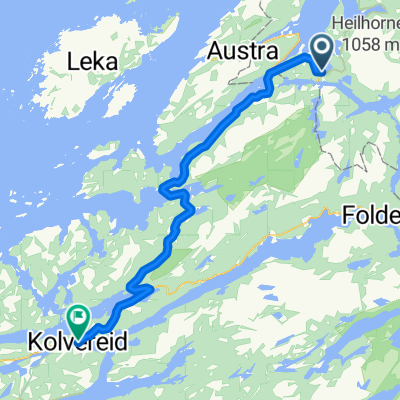
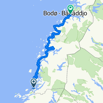
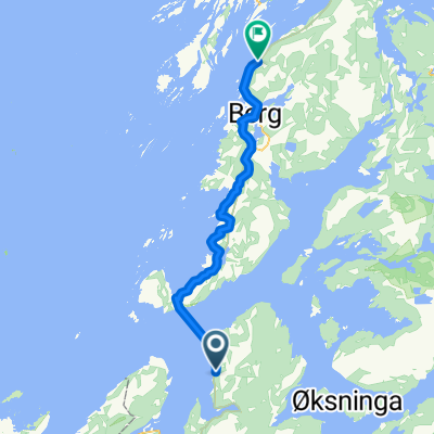
Fjelldal-Camping - R17 - Foldereid - Foldsbrua ( km 43 ) - Flat-Camping - Hoylandet - Ranemsletta - Nebenstrecke - Namsos - Campen am Straßenrand ca. 8 km hinter Namsos 135 km / 871 hm ( barometr. ermittelt ) / 8:29 h- -:--
- Duration
- 135.7 km
- Distance
- 0 m
- Ascent
- 0 m
- Descent
- ---
- Avg. speed
- ---
- Avg. speed
Route quality
Waytypes & surfaces along the route
Waytypes
Busy road
117.9 km
(87 %)
Cycleway
9.2 km
(7 %)
Surfaces
Paved
88.5 km
(65 %)
Asphalt
88.5 km
(65 %)
Undefined
47.2 km
(35 %)
Continue with Bikemap
Use, edit, or download this cycling route
You would like to ride 16: Fjelldal-Camping - Waldrand hinter Namsos or customize it for your own trip? Here is what you can do with this Bikemap route:
Free features
- Save this route as favorite or in collections
- Copy & plan your own version of this route
- Sync your route with Garmin or Wahoo
Premium features
Free trial for 3 days, or one-time payment. More about Bikemap Premium.
- Navigate this route on iOS & Android
- Export a GPX / KML file of this route
- Create your custom printout (try it for free)
- Download this route for offline navigation
Discover more Premium features.
Get Bikemap PremiumFrom our community
Other popular routes starting in Terråk
- Nasjonal Turistveg Helgelandskysten
- Distance
- 511.5 km
- Ascent
- 0 m
- Descent
- 0 m
- Location
- Terråk, Nordland Fylke, Norway
- Nasjonal sykkelrute 1 (Brønnøysund–Bodø)
- Distance
- 39.8 km
- Ascent
- 500 m
- Descent
- 489 m
- Location
- Terråk, Nordland Fylke, Norway
- 16: Fjelldal-Camping - Waldrand hinter Namsos
- Distance
- 135.7 km
- Ascent
- 0 m
- Descent
- 0 m
- Location
- Terråk, Nordland Fylke, Norway
- Nasjonal sykkelrute 1, Bogen- Kristiansund
- Distance
- 538.5 km
- Ascent
- 1,343 m
- Descent
- 1,342 m
- Location
- Terråk, Nordland Fylke, Norway
- Svaberget - Brønnøysund
- Distance
- 65.9 km
- Ascent
- 363 m
- Descent
- 351 m
- Location
- Terråk, Nordland Fylke, Norway
- Recovered Route
- Distance
- 0.6 km
- Ascent
- 6 m
- Descent
- 10 m
- Location
- Terråk, Nordland Fylke, Norway
- Tag 12 - fyr2fyr2018
- Distance
- 149.1 km
- Ascent
- 0 m
- Descent
- 0 m
- Location
- Terråk, Nordland Fylke, Norway
- Bindal - Torghatten
- Distance
- 94 km
- Ascent
- 498 m
- Descent
- 497 m
- Location
- Terråk, Nordland Fylke, Norway
Open it in the app