Black Design Fellesstart 2014
- 25.3 km
- 357 m
- 313 m
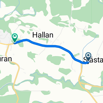
- Skogn, Nord-Trøndelag Fylke, Norway
A cycling route starting in Skogn, Nord-Trøndelag Fylke, Norway.
Overview
Radltag 18 ( 19.06.13 ): durch Trondheim
Gullberget-Camping kurz vor Asen - E6 ( Katastrophe ) - Stjoerdal / um den Lufthavn Trondheim-Vaernes - Fv 950 - Trondheim ( Radlweg nach Stoeren ) - Melhus - Stoeren 125 km / 1.036 hm ( barometr. ermittelt ) / 7:45 hcreated this 13 years ago
Continue with Bikemap
You would like to ride 18: Gullberget-Camping - Stoeren or customize it for your own trip? Here is what you can do with this Bikemap route:
Free trial for 3 days, or one-time payment. More about Bikemap Premium.
Discover more Premium features.
Get Bikemap PremiumFrom our community
Open it in the app