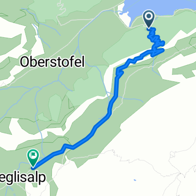

Long Sonntag Ride In Appenzell
- 18.1 km
- 1,112 m
- 960 m
- Appenzell, Appenzell Innerrhoden, Switzerland
A cycling route starting in Appenzell, Appenzell Innerrhoden, Switzerland.
Overview
Physically demanding route with magnificent views. I'll comment on the difficulty level once I've ridden the route. It doesn't seem very technical.
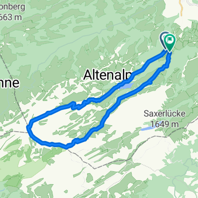
The route was planned using satellite view and differs partially from other map views. Since the paths are partly unpaved or not proper paths, this can indeed happen.
created this 12 years ago
Route highlights
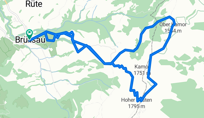
Berggasthaus Ruhesitz
Berggasthaus Ruhesitz
Continue with Bikemap
You would like to ride Brülisau - Kamor - Hoher Kasten - Brülisau or customize it for your own trip? Here is what you can do with this Bikemap route:
Free trial for 3 days, or one-time payment. More about Bikemap Premium.
Discover more Premium features.
Get Bikemap PremiumFrom our community
Open it in the app