RRday3Option2
- 122.9 km
- 2,440 m
- 1,879 m
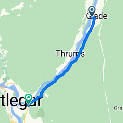
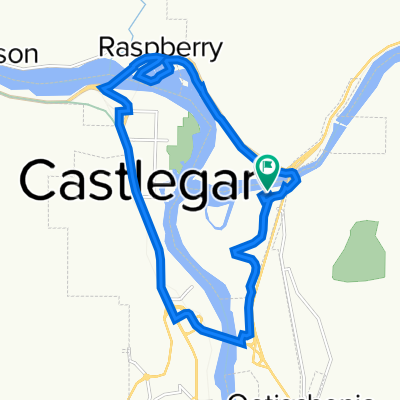
- Castlegar, British Columbia, Canada
A cycling route starting in Castlegar, British Columbia, Canada.
Overview
This route highlights the refurbished and reopened Brilliant Suspension over the Kootenay River. Obee's book instead outlines a route through downtown Castlegar and crosses the Columbia at the Hwy 3 bridge.
The route here to Trail is not recommended for loaded cyclists but supported mountain bikers and hikers.
For more information on this segment refer to Bruce Obee's official guide book -The Trans Canada Trail-BC the Christina Lake to Trail section- pages 242-244
book mileage start- 86.9 km
book mileage end- 115.9 km
created this 12 years ago
Route quality
Path
15 km
(42 %)
Quiet road
6.1 km
(17 %)
Paved
2.1 km
(6 %)
Unpaved
17.5 km
(49 %)
Unpaved (undefined)
14.6 km
(41 %)
Ground
2.9 km
(8 %)
Continue with Bikemap
You would like to ride TCT Sectional/ Castlegar to Trail CLONED FROM ROUTE 552026 or customize it for your own trip? Here is what you can do with this Bikemap route:
Free trial for 3 days, or one-time payment. More about Bikemap Premium.
Discover more Premium features.
Get Bikemap PremiumFrom our community
Open it in the app