

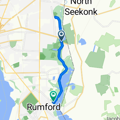
Northwest Loop
A cycling route starting in North Seekonk, Massachusetts, United States.
Overview
About this route
Meandering route includes a loop through Pawt, CF, and Lincoln. Comes back on Blackstone Valley Bike Path. Climbs some hills in the middle.
- -:--
- Duration
- 33.7 km
- Distance
- 212 m
- Ascent
- 209 m
- Descent
- ---
- Avg. speed
- 106 m
- Max. altitude
Route quality
Waytypes & surfaces along the route
Waytypes
Quiet road
8.4 km
(25 %)
Road
7.4 km
(22 %)
Surfaces
Paved
27.6 km
(82 %)
Unpaved
0.3 km
(1 %)
Asphalt
26.6 km
(79 %)
Paved (undefined)
0.7 km
(2 %)
Continue with Bikemap
Use, edit, or download this cycling route
You would like to ride Northwest Loop or customize it for your own trip? Here is what you can do with this Bikemap route:
Free features
- Save this route as favorite or in collections
- Copy & plan your own version of this route
- Sync your route with Garmin or Wahoo
Premium features
Free trial for 3 days, or one-time payment. More about Bikemap Premium.
- Navigate this route on iOS & Android
- Export a GPX / KML file of this route
- Create your custom printout (try it for free)
- Download this route for offline navigation
Discover more Premium features.
Get Bikemap PremiumFrom our community
Other popular routes starting in North Seekonk
 15–23 Redwood Ave, Pawtucket to 46 Wildwood Ave, East Providence
- Distance
- 6.5 km
- Ascent
- 23 m
- Descent
- 26 m
- Location
- North Seekonk, Massachusetts, United States
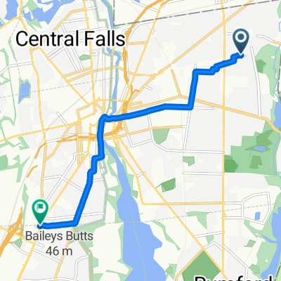
 Armistice Opp Slater Park, Pawtucket to Armistice Opp Slater Park, Pawtucket
- Distance
- 10.3 km
- Ascent
- 134 m
- Descent
- 116 m
- Location
- North Seekonk, Massachusetts, United States
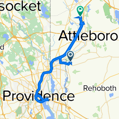
 54 Laura Dr, Attleboro to 60 Laura Dr, Attleboro
- Distance
- 34.7 km
- Ascent
- 170 m
- Descent
- 169 m
- Location
- North Seekonk, Massachusetts, United States
 41.919° N -71.334° W to 41.919° N -71.334° W
- Distance
- 34.7 km
- Ascent
- 171 m
- Descent
- 170 m
- Location
- North Seekonk, Massachusetts, United States
 Loop 2
- Distance
- 35.2 km
- Ascent
- 54 m
- Descent
- 55 m
- Location
- North Seekonk, Massachusetts, United States
 Central Avenue 315, Seekonk to John L Dietsch Boulevard 284, North Attleborough
- Distance
- 76.7 km
- Ascent
- 357 m
- Descent
- 324 m
- Location
- North Seekonk, Massachusetts, United States
 60 Laura Dr, Attleboro to 60 Laura Dr, Attleboro
- Distance
- 7.5 km
- Ascent
- 63 m
- Descent
- 63 m
- Location
- North Seekonk, Massachusetts, United States
 223 Norfolk Ave, Pawtucket to 615 Pawtucket Ave, Providence
- Distance
- 7 km
- Ascent
- 13 m
- Descent
- 33 m
- Location
- North Seekonk, Massachusetts, United States
Open it in the app