Dom-Pecke-Martnica-Dom
- 19.2 km
- 872 m
- 876 m
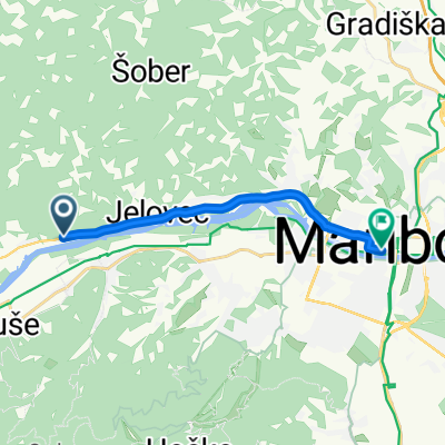
- Bistrica ob Dravi, Ruše Municipality, Slovenia
A cycling route starting in Bistrica ob Dravi, Ruše Municipality, Slovenia.
Overview
created this 12 years ago
Route quality
Access road
5.8 km
(4 %)
Path
5.8 km
(4 %)
Paved
69.7 km
(48 %)
Unpaved
1.5 km
(1 %)
Asphalt
69.7 km
(48 %)
Unpaved (undefined)
1.5 km
(1 %)
Undefined
74.1 km
(51 %)
Continue with Bikemap
You would like to ride Okoli Pohorja or customize it for your own trip? Here is what you can do with this Bikemap route:
Free trial for 3 days, or one-time payment. More about Bikemap Premium.
Discover more Premium features.
Get Bikemap PremiumFrom our community
Open it in the app