

BRUTAL 2013 Rainer Waigel Variante A-CH
A cycling route starting in Sankt Margrethen, Canton of St. Gallen, Switzerland.
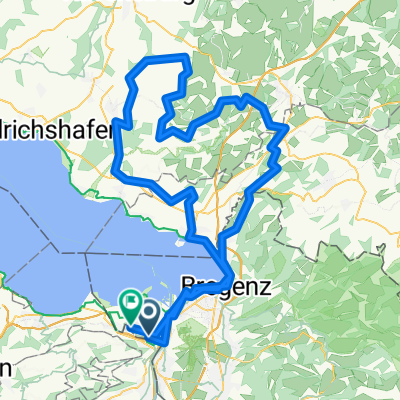
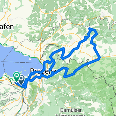
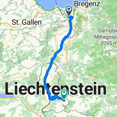
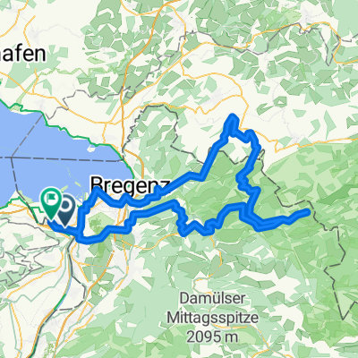
Overview
About this route
<span style="font-family: Arial; color: navy; font-size: x-small;"><span style="font-size: 10pt;">Sa. St . Margarethen -> Hochtannberg -> Bach</span></span>
<span style="font-family: Arial; color: navy; font-size: x-small;"><span style="font-size: 10pt;">So. Bach -> Hochtennjoch -> Mittenwald -> Tegernsee</span></span>
<span style="font-family: Arial; color: navy; font-size: x-small;"><span style="font-size: 10pt;">Mo. Tegernsee-> Schliersee -> Kufstein -> Kitzbühl</span></span>
<span style="font-family: Arial; color: navy; font-size: x-small;"><span style="font-size: 10pt;">Die. Kitzbühl-> Lienz</span></span>
<span style="font-family: Arial; color: navy; font-size: x-small;"><span style="font-size: 10pt;">Mi. Lienz -> Calazo di Cadore</span></span>
<span style="font-family: Arial; color: navy; font-size: x-small;"><span style="font-size: 10pt;">Do Calazo di Cadore –> Bozen</span></span>
<span style="font-family: Arial; color: navy; font-size: x-small;"><span style="font-size: 10pt;">Fr. Bozen -> Zernez</span></span>
<span style="font-family: Arial; color: navy; font-size: x-small;"><span style="font-size: 10pt;">Sa. Zernez -> St Margarehen oder ZH</span></span>
- -:--
- Duration
- 1,016.5 km
- Distance
- 8,675 m
- Ascent
- 8,658 m
- Descent
- ---
- Avg. speed
- ---
- Max. altitude

Route highlights
Points of interest along the route
Point of interest after 90.4 km
Tag 1
Point of interest after 264.5 km
Tag 2
Point of interest after 358.4 km
Tag 3
Point of interest after 444 km
Tag 4
Point of interest after 552.6 km
Tag 5
Point of interest after 695.6 km
Tag 6
Point of interest after 832 km
Tag 7
Continue with Bikemap
Use, edit, or download this cycling route
You would like to ride BRUTAL 2013 Rainer Waigel Variante A-CH or customize it for your own trip? Here is what you can do with this Bikemap route:
Free features
- Save this route as favorite or in collections
- Copy & plan your own version of this route
- Split it into stages to create a multi-day tour
- Sync your route with Garmin or Wahoo
Premium features
Free trial for 3 days, or one-time payment. More about Bikemap Premium.
- Navigate this route on iOS & Android
- Export a GPX / KML file of this route
- Create your custom printout (try it for free)
- Download this route for offline navigation
Discover more Premium features.
Get Bikemap PremiumFrom our community
Other popular routes starting in Sankt Margrethen
 Schöre Sport 2025
- Distance
- 126.7 km
- Ascent
- 1,197 m
- Descent
- 1,202 m
- Location
- Sankt Margrethen, Canton of St. Gallen, Switzerland
 Oberstaufen-Pfänder 2025 Sport
- Distance
- 128.2 km
- Ascent
- 1,628 m
- Descent
- 1,627 m
- Location
- Sankt Margrethen, Canton of St. Gallen, Switzerland
 20160804_173222.gpx
- Distance
- 38.1 km
- Ascent
- 14 m
- Descent
- 16 m
- Location
- Sankt Margrethen, Canton of St. Gallen, Switzerland
 2013 St. Margerethen-Zagreb
- Distance
- 876.8 km
- Ascent
- 7,042 m
- Descent
- 7,085 m
- Location
- Sankt Margrethen, Canton of St. Gallen, Switzerland
 BS Tag 1 Höchst - Romanshorn - Konstanz
- Distance
- 68.2 km
- Ascent
- 18 m
- Descent
- 18 m
- Location
- Sankt Margrethen, Canton of St. Gallen, Switzerland
 4-Tages-Passfahrt Vorarlberg-Italien-Graubünden
- Distance
- 330.4 km
- Ascent
- 4,568 m
- Descent
- 4,447 m
- Location
- Sankt Margrethen, Canton of St. Gallen, Switzerland
 Liechtenstein
- Distance
- 62.5 km
- Ascent
- 1,497 m
- Descent
- 304 m
- Location
- Sankt Margrethen, Canton of St. Gallen, Switzerland
 Lecknertal 2025
- Distance
- 115.7 km
- Ascent
- 1,701 m
- Descent
- 1,702 m
- Location
- Sankt Margrethen, Canton of St. Gallen, Switzerland
Open it in the app