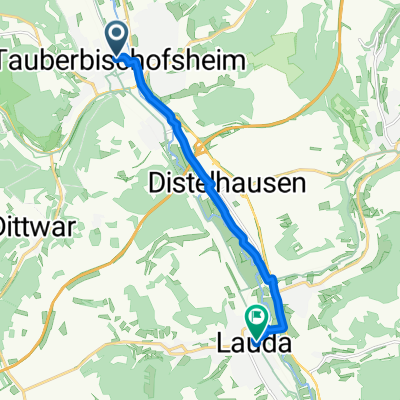


1993-2010 Taubertal Radweg
- 76.1 km
- 846 m
- 685 m
- Tauberbischofsheim, Baden-Wurttemberg, Germany
A cycling route starting in Tauberbischofsheim, Baden-Wurttemberg, Germany.
Overview
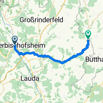
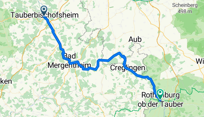
13th stage from HH-Munich. Charming Taubertal ?. But not in this direction. The cycling path constantly goes uphill with the highlight from Detwang to Rothenburg. Nevertheless, it's best to use the less steep road, which is traveled by many 'long-distance cyclists' with luggage. There are plenty of accommodations in Rothenburg, with prices corresponding to the region.
created this 18 years ago
Continue with Bikemap
You would like to ride Tauberbischofsheim nach Rothenburg/Tauber or customize it for your own trip? Here is what you can do with this Bikemap route:
Free trial for 3 days, or one-time payment. More about Bikemap Premium.
Discover more Premium features.
Get Bikemap PremiumFrom our community
Open it in the app