
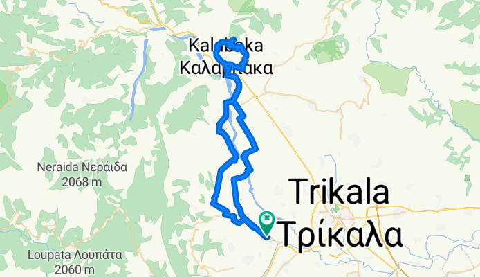
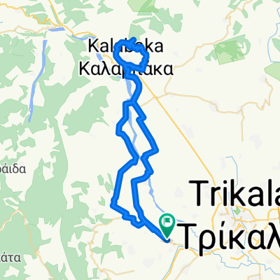
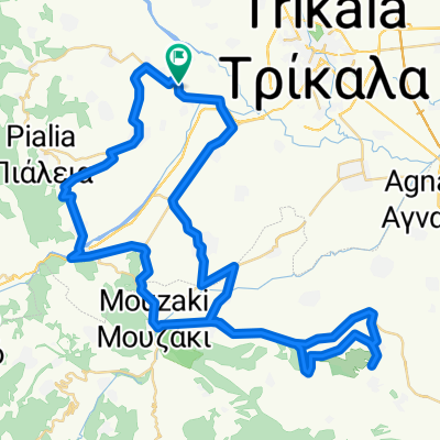
Kato Elati - Tour of Meteora and back
A cycling route starting in Fíki, Thessaly, Greece.
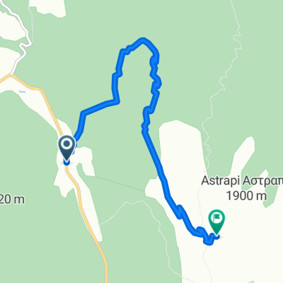
Overview
About this route
Very nice route with breathtaking vistas towards the summits of S. Pindus and containing a tour of Meteora. Ideal for sunny winter days or early spring.
- -:--
- Duration
- 66.7 km
- Distance
- 436 m
- Ascent
- 437 m
- Descent
- ---
- Avg. speed
- ---
- Max. altitude
Route quality
Waytypes & surfaces along the route
Waytypes
Road
37.4 km
(56 %)
Quiet road
12 km
(18 %)
Surfaces
Paved
17.3 km
(26 %)
Unpaved
0.7 km
(1 %)
Asphalt
17.3 km
(26 %)
Gravel
0.7 km
(1 %)
Undefined
48.7 km
(73 %)
Continue with Bikemap
Use, edit, or download this cycling route
You would like to ride Kato Elati - Tour of Meteora and back or customize it for your own trip? Here is what you can do with this Bikemap route:
Free features
- Save this route as favorite or in collections
- Copy & plan your own version of this route
- Sync your route with Garmin or Wahoo
Premium features
Free trial for 3 days, or one-time payment. More about Bikemap Premium.
- Navigate this route on iOS & Android
- Export a GPX / KML file of this route
- Create your custom printout (try it for free)
- Download this route for offline navigation
Discover more Premium features.
Get Bikemap PremiumFrom our community
Other popular routes starting in Fíki
 Kato Elati - Tour of Meteora and back
- Distance
- 66.7 km
- Ascent
- 436 m
- Descent
- 437 m
- Location
- Fíki, Thessaly, Greece
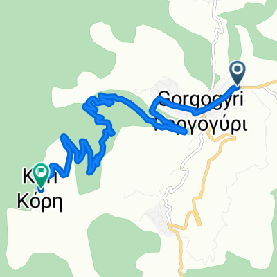
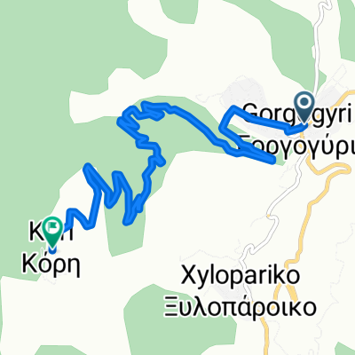 GREECE TRIKALA GORGOGYRI-KORH
- Distance
- 8 km
- Ascent
- 690 m
- Descent
- 14 m
- Location
- Fíki, Thessaly, Greece
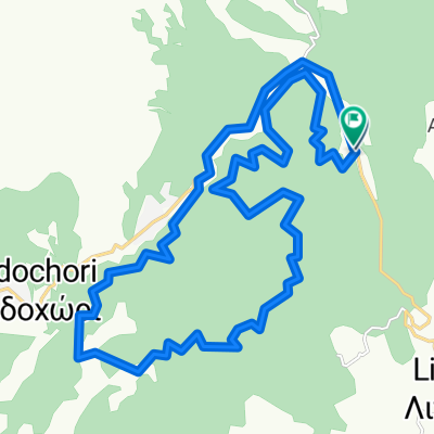 gia check
- Distance
- 28.8 km
- Ascent
- 569 m
- Descent
- 570 m
- Location
- Fíki, Thessaly, Greece
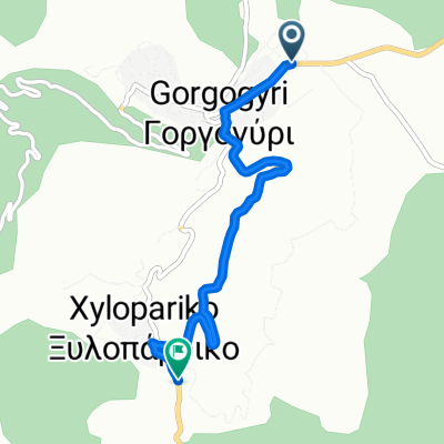 ΞΥΛΟΠΑΡΙΚΟ
- Distance
- 4 km
- Ascent
- 278 m
- Descent
- 12 m
- Location
- Fíki, Thessaly, Greece
 Kato Elati - Fanari (via S. Pindos foothills)
- Distance
- 74.2 km
- Ascent
- 450 m
- Descent
- 452 m
- Location
- Fíki, Thessaly, Greece
 Οδός Χωρίς Ονομασία to Επαρχιακή Οδός Μεγάρχης-Γενεσίου
- Distance
- 41.5 km
- Ascent
- 107 m
- Descent
- 106 m
- Location
- Fíki, Thessaly, Greece
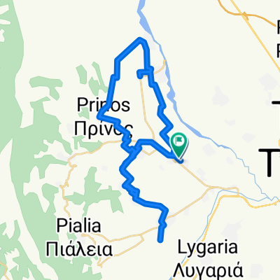
 ΚΟΡΡΗ
ΚΟΡΡΗ- Distance
- 8.5 km
- Ascent
- 706 m
- Descent
- 0 m
- Location
- Fíki, Thessaly, Greece
 Unnamed Road, Trikala to Unnamed Road, Trikala
- Distance
- 7.5 km
- Ascent
- 911 m
- Descent
- 408 m
- Location
- Fíki, Thessaly, Greece
Open it in the app