

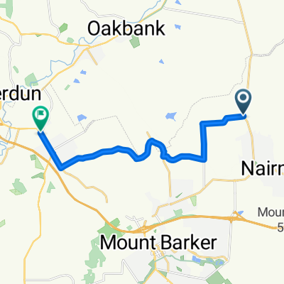
Nairne 89km Strath loop
A cycling route starting in Nairne, South Australia, Australia.
Overview
About this route
Nairne - Mt Barker - Echunga - Flaxley - Macclesfield - Meadows - Ashbourne - Strathalbyn - Mt Barker - Nairne
- -:--
- Duration
- 89.8 km
- Distance
- 782 m
- Ascent
- 782 m
- Descent
- ---
- Avg. speed
- ---
- Max. altitude
Route quality
Waytypes & surfaces along the route
Waytypes
Quiet road
11.7 km
(13 %)
Road
6.3 km
(7 %)
Surfaces
Paved
83.5 km
(93 %)
Unpaved
0.9 km
(1 %)
Asphalt
76.4 km
(85 %)
Paved (undefined)
7.2 km
(8 %)
Continue with Bikemap
Use, edit, or download this cycling route
You would like to ride Nairne 89km Strath loop or customize it for your own trip? Here is what you can do with this Bikemap route:
Free features
- Save this route as favorite or in collections
- Copy & plan your own version of this route
- Split it into stages to create a multi-day tour
- Sync your route with Garmin or Wahoo
Premium features
Free trial for 3 days, or one-time payment. More about Bikemap Premium.
- Navigate this route on iOS & Android
- Export a GPX / KML file of this route
- Create your custom printout (try it for free)
- Download this route for offline navigation
Discover more Premium features.
Get Bikemap PremiumFrom our community
Other popular routes starting in Nairne
 Nairne - Mount Barker - Woodchester - Callington - Nairne
- Distance
- 63.8 km
- Ascent
- 494 m
- Descent
- 494 m
- Location
- Nairne, South Australia, Australia
 Nairne - Woodside - Balhannah - Ambleside Rd - Hahndorf
- Distance
- 22.8 km
- Ascent
- 139 m
- Descent
- 182 m
- Location
- Nairne, South Australia, Australia
 Lot 100 to Ambleside
- Distance
- 12.4 km
- Ascent
- 153 m
- Descent
- 212 m
- Location
- Nairne, South Australia, Australia
 home, to Sarah's via sawpit gully and back via barker summit rd
- Distance
- 30 km
- Ascent
- 488 m
- Descent
- 488 m
- Location
- Nairne, South Australia, Australia
 Nairne - Strath - Callington loop
- Distance
- 77.6 km
- Ascent
- 520 m
- Descent
- 520 m
- Location
- Nairne, South Australia, Australia
 Nairne loop
- Distance
- 65 km
- Ascent
- 521 m
- Descent
- 521 m
- Location
- Nairne, South Australia, Australia
 Nairne 89km Strath loop
- Distance
- 89.8 km
- Ascent
- 782 m
- Descent
- 782 m
- Location
- Nairne, South Australia, Australia
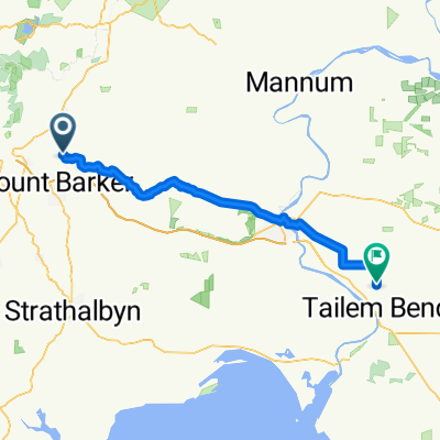 Nairne - Tailem Bend
- Distance
- 69.2 km
- Ascent
- 542 m
- Descent
- 911 m
- Location
- Nairne, South Australia, Australia
Open it in the app