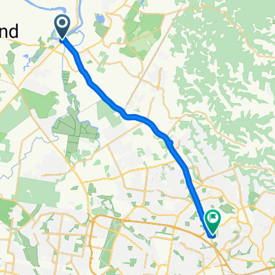
Richmond via Bligh Park and Oakville
- 50.3 km
- 189 m
- 191 m
- South Windsor, New South Wales, Australia
A cycling route starting in South Windsor, New South Wales, Australia.
Overview
Nice ride, roads are quite busy, but the course offers some nice flat open sections, and also flowing decents and steep short gradients.
created this 12 years ago
Route quality
Cycleway
15.6 km
(31 %)
Quiet road
13.1 km
(26 %)
Paved
45.7 km
(91 %)
Unpaved
2 km
(4 %)
Asphalt
34.7 km
(69 %)
Paved (undefined)
11.1 km
(22 %)
Continue with Bikemap
You would like to ride Richmond via Bligh Park and Oakville or customize it for your own trip? Here is what you can do with this Bikemap route:
Free trial for 3 days, or one-time payment. More about Bikemap Premium.
Discover more Premium features.
Get Bikemap PremiumFrom our community
Open it in the app