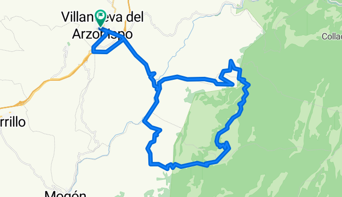
Vva.-Jesús del Monte-Bardazoso-La Toba-Vva.
A cycling route starting in Villanueva del Arzobispo, Andalusia, Spain.
Overview
About this route
MTB route, perfect terrain for climbing training and being in nature. From Puente La Gorda to the ascent to Los Linaresjos there is more than 1 hour of climbing. The route is great.
- -:--
- Duration
- 47 km
- Distance
- 1,300 m
- Ascent
- 1,304 m
- Descent
- ---
- Avg. speed
- ---
- Max. altitude
Route quality
Waytypes & surfaces along the route
Waytypes
Road
15 km
(32 %)
Quiet road
15 km
(32 %)
Surfaces
Paved
14.6 km
(31 %)
Unpaved
13.1 km
(28 %)
Asphalt
14.6 km
(31 %)
Ground
8.5 km
(18 %)
Continue with Bikemap
Use, edit, or download this cycling route
You would like to ride Vva.-Jesús del Monte-Bardazoso-La Toba-Vva. or customize it for your own trip? Here is what you can do with this Bikemap route:
Free features
- Save this route as favorite or in collections
- Copy & plan your own version of this route
- Sync your route with Garmin or Wahoo
Premium features
Free trial for 3 days, or one-time payment. More about Bikemap Premium.
- Navigate this route on iOS & Android
- Export a GPX / KML file of this route
- Create your custom printout (try it for free)
- Download this route for offline navigation
Discover more Premium features.
Get Bikemap PremiumFrom our community
Other popular routes starting in Villanueva del Arzobispo
- Collado agua los perros collado la traviesa
- Distance
- 94.9 km
- Ascent
- 1,633 m
- Descent
- 1,632 m
- Location
- Villanueva del Arzobispo, Andalusia, Spain
- Villanueva del Arzobispo-Cazorla
- Distance
- 97.4 km
- Ascent
- 1,179 m
- Descent
- 1,070 m
- Location
- Villanueva del Arzobispo, Andalusia, Spain
- Vva.- Pto. Fuenlabrada - La Herrera - Vva.
- Distance
- 33.9 km
- Ascent
- 734 m
- Descent
- 738 m
- Location
- Villanueva del Arzobispo, Andalusia, Spain
- Vva.-Jesús del Monte-Bardazoso-Mogón-Vva.
- Distance
- 55.1 km
- Ascent
- 1,315 m
- Descent
- 1,319 m
- Location
- Villanueva del Arzobispo, Andalusia, Spain
- Vuelta Sierra Las Villas
- Distance
- 99.5 km
- Ascent
- 1,762 m
- Descent
- 1,762 m
- Location
- Villanueva del Arzobispo, Andalusia, Spain
- Vva.-Gútar-Pto. La Herrera-Embotelladora-Vva.
- Distance
- 43.7 km
- Ascent
- 849 m
- Descent
- 853 m
- Location
- Villanueva del Arzobispo, Andalusia, Spain
- Jesus del Monte, Caballo Torraso, Charco Aceite y regreso
- Distance
- 57.5 km
- Ascent
- 1,675 m
- Descent
- 1,678 m
- Location
- Villanueva del Arzobispo, Andalusia, Spain
- El cuestarrón
- Distance
- 3.4 km
- Ascent
- 422 m
- Descent
- 35 m
- Location
- Villanueva del Arzobispo, Andalusia, Spain
Open it in the app