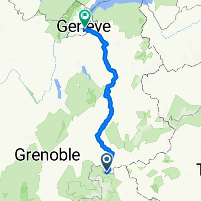
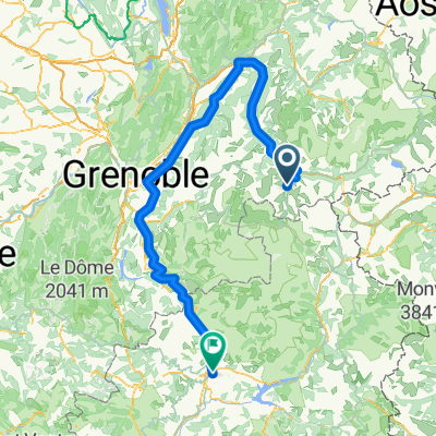
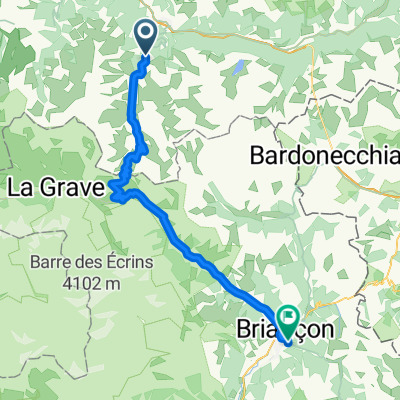
5. Valmenier 1800 - Guillestre
A cycling route starting in Valloire, Auvergne-Rh么ne-Alpes, France.
Overview
About this route
25 Jahre BOSCH-Radsport B眉hl Jubil盲umstour
Von B眉hl 眉ber die Westalpen zum Mt. Ventoux
聽
Kontakt:
聽
- -:--
- Duration
- 147.5 km
- Distance
- 3,190 m
- Ascent
- 4,008 m
- Descent
- ---
- Avg. speed
- ---
- Avg. speed
Route quality
Waytypes & surfaces along the route
Waytypes
Undefined
147.5 km
(100 %)
Surfaces
Undefined
147.5 km
(100 %)
Continue with Bikemap
Use, edit, or download this cycling route
You would like to ride 5. Valmenier 1800 - Guillestre or customize it for your own trip? Here is what you can do with this Bikemap route:
Free features
- Save this route as favorite or in collections
- Copy & plan your own version of this route
- Sync your route with Garmin or Wahoo
Premium features
Free trial for 3 days, or one-time payment. More about Bikemap Premium.
- Navigate this route on iOS & Android
- Export a GPX / KML file of this route
- Create your custom printout (try it for free)
- Download this route for offline navigation
Discover more Premium features.
Get Bikemap PremiumFrom our community
Other popular routes starting in Valloire
- Route des Grand Alps Teil 4 (Alpe d麓Huez)
- Distance
- 90.9 km
- Ascent
- 2,408 m
- Descent
- 2,474 m
- Location
- Valloire, Auvergne-Rh么ne-Alpes, France
- 2013 09 10 COG Valloire - Guillestre
- Distance
- 102 km
- Ascent
- 2,301 m
- Descent
- 2,702 m
- Location
- Valloire, Auvergne-Rh么ne-Alpes, France
- Gersau - Nizza: 5. Etappe
- Distance
- 67.9 km
- Ascent
- 1,765 m
- Descent
- 1,408 m
- Location
- Valloire, Auvergne-Rh么ne-Alpes, France
- Galibier, Lautaret, Glandon, Telegraf
- Distance
- 161.2 km
- Ascent
- 3,724 m
- Descent
- 3,724 m
- Location
- Valloire, Auvergne-Rh么ne-Alpes, France
- 2021-10-09 - Tag 3 - Valloire ==> Guillestre
- Distance
- 104.3 km
- Ascent
- 3,053 m
- Descent
- 3,436 m
- Location
- Valloire, Auvergne-Rh么ne-Alpes, France
- lidl-tour-2015-2-3
- Distance
- 78.5 km
- Ascent
- 2,526 m
- Descent
- 2,088 m
- Location
- Valloire, Auvergne-Rh么ne-Alpes, France
- Embrun - Camp des Rochilles
- Distance
- 175.5 km
- Ascent
- 4,027 m
- Descent
- 5,681 m
- Location
- Valloire, Auvergne-Rh么ne-Alpes, France
- Route in Villar-d'Ar锚ne
- Distance
- 24.4 km
- Ascent
- 856 m
- Descent
- 850 m
- Location
- Valloire, Auvergne-Rh么ne-Alpes, France