

000 Arosa - Basic
A cycling route starting in Arosa, Grisons, Switzerland.
Overview
About this route
Cable Cars: 9-17h
- -:--
- Duration
- 37.4 km
- Distance
- 1,069 m
- Ascent
- 1,472 m
- Descent
- ---
- Avg. speed
- ---
- Max. altitude

Route highlights
Points of interest along the route
Point of interest after 0 km
Camp 1731 m.n.m. Registriation at Infocentrum
Photo after 0 km
Barbeque place
Photo after 0 km
Barbecue place
Drinking water after 0.8 km
Bankomat
Point of interest after 0.8 km
Market
Drinking water after 1.2 km
Bankomat
Point of interest after 1.4 km
Train Station
Point of interest after 1.5 km
Cable Car> Arrosa -> Mitller Hütte
Point of interest after 2.9 km
Cable Car > Mitller Hütte. -> Weisshorn 2010 m.n.m - NO BIKES !
Point of interest after 5.3 km
Cable Car: InnerArosa -> Hörnli__ 9-17h 1832 m.n.m.
Point of interest after 8.8 km
Cable Car - Hörnli
Point of interest after 8.9 km
Restaurant
Point of interest after 9.2 km
Park
Point of interest after 9.2 km
Chur - Trainstation -> Arosa Departure 10min after: 19, 20, 21, 23h
Point of interest after 11.3 km
Cable Car > Weisshorn - 2653 m.n.m no bikes
Photo after 15.6 km
Barbeque place
Photo after 16.5 km
Barbeque place
Photo after 18.1 km
Rot Tritt - 2006 m.n.m Barbeque place
Point of interest after 18.5 km
Water
Point of interest after 18.9 km
Water
Point of interest after 20.6 km
Ochsenalp - 1933 m.n.n Restaurant
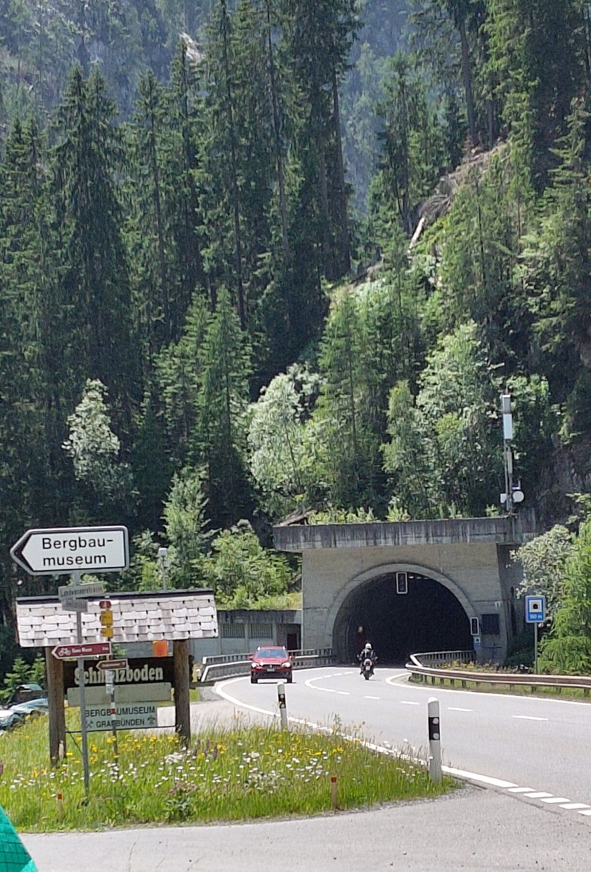
Photo after 26 km
Vyhlidka na Langwies - 1797 m.n.m
Point of interest after 29 km
Rope Park
Drinking water after 29.2 km
Infocentrum - Camp Registration
Drinking water after 29.2 km
Bikeshop and Servis
Point of interest after 29.6 km
Market
Photo after 30 km
Barbeque place
Point of interest after 30 km
Lake with beach
Photo after 30.4 km
Barbeque place
Photo after 30.5 km
Barbeque place
Photo after 30.6 km
Barbeque place
Photo after 30.6 km
Barbeque place
Point of interest after 37.4 km
Langwiess - Trainstation departute to Arosa: mostly every hour at 0:45 1377 m.n.m
Continue with Bikemap
Use, edit, or download this cycling route
You would like to ride 000 Arosa - Basic or customize it for your own trip? Here is what you can do with this Bikemap route:
Free features
- Save this route as favorite or in collections
- Copy & plan your own version of this route
- Sync your route with Garmin or Wahoo
Premium features
Free trial for 3 days, or one-time payment. More about Bikemap Premium.
- Navigate this route on iOS & Android
- Export a GPX / KML file of this route
- Create your custom printout (try it for free)
- Download this route for offline navigation
Discover more Premium features.
Get Bikemap PremiumFrom our community
Other popular routes starting in Arosa
 632 Schwellisee
- Distance
- 18.8 km
- Ascent
- 648 m
- Descent
- 645 m
- Location
- Arosa, Grisons, Switzerland
 Bärenbike-Schatzsuche BLAU
- Distance
- 9.9 km
- Ascent
- 399 m
- Descent
- 396 m
- Location
- Arosa, Grisons, Switzerland
 Ochsenalp-Schwellisee
- Distance
- 25.6 km
- Ascent
- 508 m
- Descent
- 508 m
- Location
- Arosa, Grisons, Switzerland
 000 Arosa - Basic
- Distance
- 37.4 km
- Ascent
- 1,069 m
- Descent
- 1,472 m
- Location
- Arosa, Grisons, Switzerland
 TTT Hörnli - Schwellisee - Arosa
- Distance
- 5.7 km
- Ascent
- 94 m
- Descent
- 761 m
- Location
- Arosa, Grisons, Switzerland
 Ochsenalp-Rot Tritt-Schwellisee Arosa
- Distance
- 25.7 km
- Ascent
- 714 m
- Descent
- 715 m
- Location
- Arosa, Grisons, Switzerland
 WiWaWe Arosa
- Distance
- 14.2 km
- Ascent
- 374 m
- Descent
- 373 m
- Location
- Arosa, Grisons, Switzerland
 Schmelzboden-Wolfgang Sprecherhaus
- Distance
- 17.2 km
- Ascent
- 299 m
- Descent
- 116 m
- Location
- Arosa, Grisons, Switzerland
Open it in the app