

T's team ride
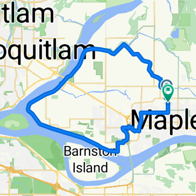
A cycling route starting in Maple Ridge, British Columbia, Canada.
Overview
About this route
- -:--
- Duration
- 50.1 km
- Distance
- 117 m
- Ascent
- 117 m
- Descent
- ---
- Avg. speed
- ---
- Max. altitude
Route quality
Waytypes & surfaces along the route
Waytypes
Cycleway
8 km
(16 %)
Road
5.5 km
(11 %)
Surfaces
Paved
28 km
(56 %)
Unpaved
2 km
(4 %)
Asphalt
27.5 km
(55 %)
Gravel
2 km
(4 %)
Continue with Bikemap
Use, edit, or download this cycling route
You would like to ride T's team ride or customize it for your own trip? Here is what you can do with this Bikemap route:
Free features
- Save this route as favorite or in collections
- Copy & plan your own version of this route
- Sync your route with Garmin or Wahoo
Premium features
Free trial for 3 days, or one-time payment. More about Bikemap Premium.
- Navigate this route on iOS & Android
- Export a GPX / KML file of this route
- Create your custom printout (try it for free)
- Download this route for offline navigation
Discover more Premium features.
Get Bikemap PremiumFrom our community
Other popular routes starting in Maple Ridge
 Derby Reach to Fort Langley
- Distance
- 6.6 km
- Ascent
- 61 m
- Descent
- 56 m
- Location
- Maple Ridge, British Columbia, Canada
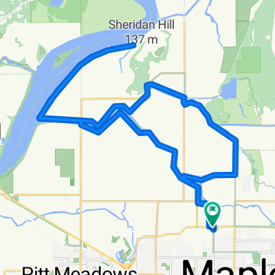
 June 8 Pitt Meadows Route
- Distance
- 29.2 km
- Ascent
- 74 m
- Descent
- 72 m
- Location
- Maple Ridge, British Columbia, Canada
 Man 18 - Day 4
- Distance
- 48.7 km
- Ascent
- 109 m
- Descent
- 110 m
- Location
- Maple Ridge, British Columbia, Canada
 maple ridge to fort langley
- Distance
- 40.7 km
- Ascent
- 60 m
- Descent
- 63 m
- Location
- Maple Ridge, British Columbia, Canada
 Fort Langley Loop
- Distance
- 52.4 km
- Ascent
- 234 m
- Descent
- 245 m
- Location
- Maple Ridge, British Columbia, Canada
 Patch Brewery to Gravel Pit Loop
- Distance
- 30.3 km
- Ascent
- 19 m
- Descent
- 0 m
- Location
- Maple Ridge, British Columbia, Canada
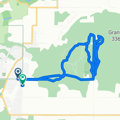 Thornhill Trails
- Distance
- 10.3 km
- Ascent
- 405 m
- Descent
- 396 m
- Location
- Maple Ridge, British Columbia, Canada
 232 Street Maple Ridge along the Great Trail
- Distance
- 14.8 km
- Ascent
- 172 m
- Descent
- 182 m
- Location
- Maple Ridge, British Columbia, Canada
Open it in the app