

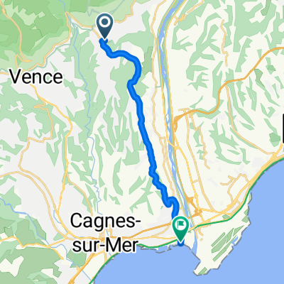
Col d'Eze, arrière pays
A cycling route starting in Saint-Jeannet, Provence-Alpes-Côte d'Azur Region, France.
Overview
About this route
- -:--
- Duration
- 118.7 km
- Distance
- 1,694 m
- Ascent
- 1,694 m
- Descent
- ---
- Avg. speed
- ---
- Max. altitude
Route quality
Waytypes & surfaces along the route
Waytypes
Road
46.3 km
(39 %)
Cycleway
7.1 km
(6 %)
Surfaces
Paved
74.8 km
(63 %)
Asphalt
74.8 km
(63 %)
Undefined
43.9 km
(37 %)
Continue with Bikemap
Use, edit, or download this cycling route
You would like to ride Col d'Eze, arrière pays or customize it for your own trip? Here is what you can do with this Bikemap route:
Free features
- Save this route as favorite or in collections
- Copy & plan your own version of this route
- Split it into stages to create a multi-day tour
- Sync your route with Garmin or Wahoo
Premium features
Free trial for 3 days, or one-time payment. More about Bikemap Premium.
- Navigate this route on iOS & Android
- Export a GPX / KML file of this route
- Create your custom printout (try it for free)
- Download this route for offline navigation
Discover more Premium features.
Get Bikemap PremiumFrom our community
Other popular routes starting in Saint-Jeannet
 ZZZ FR Gilette lezter Tag
- Distance
- 93.1 km
- Ascent
- 1,623 m
- Descent
- 1,631 m
- Location
- Saint-Jeannet, Provence-Alpes-Côte d'Azur Region, France
 ZZZ FR Col de Vence plus
- Distance
- 104.5 km
- Ascent
- 1,636 m
- Descent
- 1,634 m
- Location
- Saint-Jeannet, Provence-Alpes-Côte d'Azur Region, France
 Col d'Eze, arrière pays
- Distance
- 118.7 km
- Ascent
- 1,694 m
- Descent
- 1,694 m
- Location
- Saint-Jeannet, Provence-Alpes-Côte d'Azur Region, France
 Circuit Hiver Saint-Jeannet via Bord de Mer
- Distance
- 60.6 km
- Ascent
- 880 m
- Descent
- 855 m
- Location
- Saint-Jeannet, Provence-Alpes-Côte d'Azur Region, France
 ZZZ FR Col d Eze, Col de la Madone
- Distance
- 132.3 km
- Ascent
- 2,272 m
- Descent
- 2,266 m
- Location
- Saint-Jeannet, Provence-Alpes-Côte d'Azur Region, France
 ZZZ FR Nizza
- Distance
- 108.1 km
- Ascent
- 1,284 m
- Descent
- 1,283 m
- Location
- Saint-Jeannet, Provence-Alpes-Côte d'Azur Region, France
 ZZZ FR Loup und Hochebene
- Distance
- 112.7 km
- Ascent
- 1,708 m
- Descent
- 1,702 m
- Location
- Saint-Jeannet, Provence-Alpes-Côte d'Azur Region, France
 De la Gaude à la la Mer
- Distance
- 12.1 km
- Ascent
- 40 m
- Descent
- 333 m
- Location
- Saint-Jeannet, Provence-Alpes-Côte d'Azur Region, France
Open it in the app