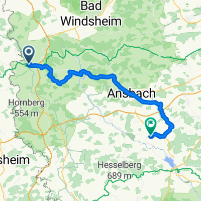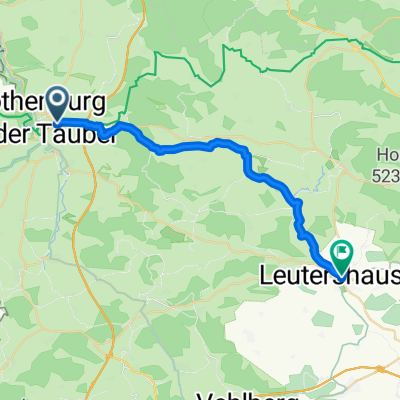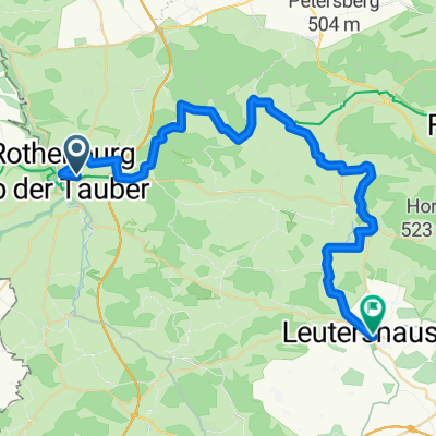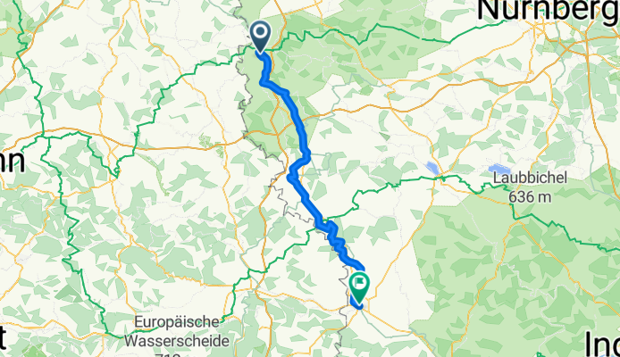

Rothenburg-Tauberquelle
- 44.7 km
- 278 m
- 278 m
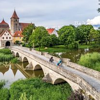
- Rothenburg upon Tauber, Bavaria, Germany
A cycling route starting in Rothenburg upon Tauber, Bavaria, Germany.
Overview
Variant over Feuchtwangen
Solar eclipse in Nördlingen unfortunately not visible due to cloud cover
created this 16 years ago
Route quality
Quiet road
28.9 km
(33 %)
Road
18.4 km
(21 %)
Paved
41.1 km
(47 %)
Unpaved
12.2 km
(14 %)
Asphalt
41.1 km
(47 %)
Gravel
9.6 km
(11 %)
Route highlights
ÜPlatz...im Unwetter,übles Gewitter
übles Unwetter...untergestellt im Schnabelhof...bei Maria
Continue with Bikemap
You would like to ride 1999 Rothenburg-Nördlingen Romantische Strasse or customize it for your own trip? Here is what you can do with this Bikemap route:
Free trial for 3 days, or one-time payment. More about Bikemap Premium.
Discover more Premium features.
Get Bikemap PremiumFrom our community
Open it in the app