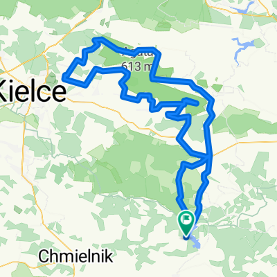
trasa 2 Og贸lnopolski Majowy Rajd 艢wi臋tokrzyski
A cycling route starting in Rak贸w, 艢wi臋tokrzyskie Voivodship, Poland.
Overview
About this route
- -:--
- Duration
- 53.4 km
- Distance
- 626 m
- Ascent
- 586 m
- Descent
- ---
- Avg. speed
- ---
- Avg. speed
Route highlights
Points of interest along the route
Point of interest after 17.5 km
Pierwszy nocleg
Point of interest after 28.8 km
2 nocleg
Point of interest after 30.9 km
Kapliczka 艢w Miko艂aja
Point of interest after 36.5 km
Zlot tras Pensjonat "Jode艂ka"
Point of interest after 37.3 km
trzeci nocleg
Continue with Bikemap
Use, edit, or download this cycling route
You would like to ride trasa 2 Og贸lnopolski Majowy Rajd 艢wi臋tokrzyski or customize it for your own trip? Here is what you can do with this Bikemap route:
Free features
- Save this route as favorite or in collections
- Copy & plan your own version of this route
- Sync your route with Garmin or Wahoo
Premium features
Free trial for 3 days, or one-time payment. More about Bikemap Premium.
- Navigate this route on iOS & Android
- Export a GPX / KML file of this route
- Create your custom printout (try it for free)
- Download this route for offline navigation
Discover more Premium features.
Get Bikemap PremiumFrom our community
Other popular routes starting in Rak贸w
- Rak贸w - Bardo - Rak贸w
- Distance
- 21.6 km
- Ascent
- 185 m
- Descent
- 181 m
- Location
- Rak贸w, 艢wi臋tokrzyskie Voivodship, Poland
- Okolice Rakowa
- Distance
- 387.2 km
- Ascent
- 2,664 m
- Descent
- 2,665 m
- Location
- Rak贸w, 艢wi臋tokrzyskie Voivodship, Poland
- Rak贸w - 艢wi臋ty Krzy偶
- Distance
- 31.2 km
- Ascent
- 617 m
- Descent
- 258 m
- Location
- Rak贸w, 艢wi臋tokrzyskie Voivodship, Poland
- p臋tla 呕yciny-Daleszyce-艢w.K.-艁ag贸w.
- Distance
- 113.1 km
- Ascent
- 867 m
- Descent
- 867 m
- Location
- Rak贸w, 艢wi臋tokrzyskie Voivodship, Poland
- GreenVelo - wok贸艂 Rakowa, czarna Ha艅cza
- Distance
- 32.6 km
- Ascent
- 217 m
- Descent
- 217 m
- Location
- Rak贸w, 艢wi臋tokrzyskie Voivodship, Poland
- GV 8 - Dzie艅 3: Cha艅cza - Kielce.
- Distance
- 74.6 km
- Ascent
- 576 m
- Descent
- 537 m
- Location
- Rak贸w, 艢wi臋tokrzyskie Voivodship, Poland
- 偶yciny-艂ag贸w-艣w.K.-klon贸w - p臋tla du偶a
- Distance
- 145.4 km
- Ascent
- 1,097 m
- Descent
- 1,097 m
- Location
- Rak贸w, 艢wi臋tokrzyskie Voivodship, Poland
- 7_2021_Cha艅cza_Kielce
- Distance
- 59.4 km
- Ascent
- 264 m
- Descent
- 228 m
- Location
- Rak贸w, 艢wi臋tokrzyskie Voivodship, Poland
Open it in the app