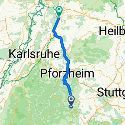
Auf den Spuren der Tour 2005
- 138.2 km
- 2,492 m
- 2,432 m
- Calw, Baden-Wurttemberg, Germany
A cycling route starting in Calw, Baden-Wurttemberg, Germany.
Overview
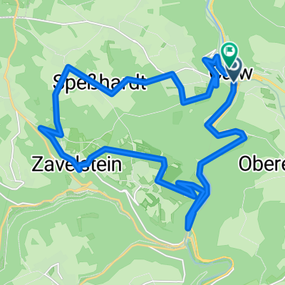
The descent from Grundbach to Unterreichenbach is a disaster
created this 16 years ago
Route quality
Road
11 km
(19 %)
Quiet road
8.7 km
(15 %)
Paved
48.1 km
(83 %)
Unpaved
1.7 km
(3 %)
Asphalt
43.5 km
(75 %)
Paved (undefined)
4.6 km
(8 %)
Continue with Bikemap
You would like to ride stammheim, die 1. or customize it for your own trip? Here is what you can do with this Bikemap route:
Free trial for 3 days, or one-time payment. More about Bikemap Premium.
Discover more Premium features.
Get Bikemap PremiumFrom our community
Open it in the app