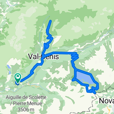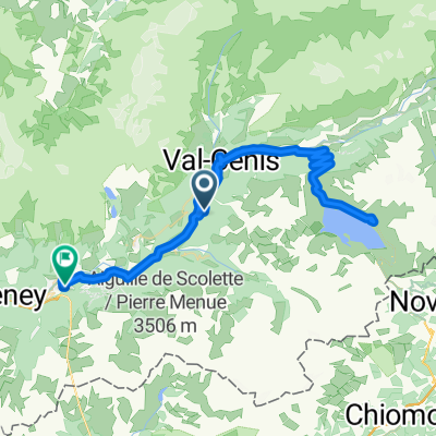
modane essai fictif
- 65.6 km
- 1,067 m
- 1,317 m
- Modane, Auvergne-Rhône-Alpes, France
A cycling route starting in Modane, Auvergne-Rhône-Alpes, France.
Overview
created this 12 years ago
Route quality
Quiet road
6.9 km
(3 %)
Road
4.6 km
(2 %)
Undefined
217.2 km
(95 %)
Paved
171.4 km
(75 %)
Asphalt
171.4 km
(75 %)
Undefined
57.1 km
(25 %)
Route highlights
Col du Télégraphe
Col du Galibier
Col d'Izoard
Col de Vars
Cime de la Bonette
Continue with Bikemap
You would like to ride Modane - Saint-Étienne-de-Tinée or customize it for your own trip? Here is what you can do with this Bikemap route:
Free trial for 3 days, or one-time payment. More about Bikemap Premium.
Discover more Premium features.
Get Bikemap PremiumFrom our community
Open it in the app