Denkmalsweg 1, Dreiheide nach Denkmalsweg 1, Dreiheide
- 31.7 km
- 190 m
- 237 m
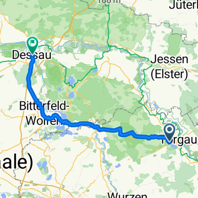
- Zinna, Saxony, Germany
A cycling route starting in Zinna, Saxony, Germany.
Overview
created this 12 years ago
Route quality
Track
173.5 km
(26 %)
Quiet road
153.5 km
(23 %)
Paved
527.1 km
(79 %)
Unpaved
66.7 km
(10 %)
Asphalt
513.8 km
(77 %)
Gravel
40 km
(6 %)
Route highlights
erste Übernachtung bei Muttern
Zweite Nacht bei meinem Bruder
Drite Nacht Campingplatz
Schwedenschanze
wechsel von R1 auf R2
Vierte Übernachtung in einer Pension
vom Main an den Rhein
Continue with Bikemap
You would like to ride Tour 2012 richtig or customize it for your own trip? Here is what you can do with this Bikemap route:
Free trial for 3 days, or one-time payment. More about Bikemap Premium.
Discover more Premium features.
Get Bikemap PremiumFrom our community
Open it in the app