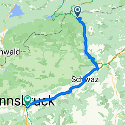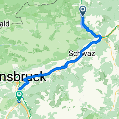
Kreuth - Schönberg im Stubaital
- 64.6 km
- 927 m
- 856 m
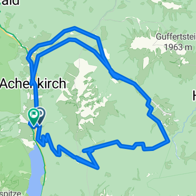
- Achenkirch, Tyrol, Austria
A cycling route starting in Achenkirch, Tyrol, Austria.
Overview
Continue with Bikemap
You would like to ride Sylvenstein - Juifen or customize it for your own trip? Here is what you can do with this Bikemap route:
Free trial for 3 days, or one-time payment. More about Bikemap Premium.
Discover more Premium features.
Get Bikemap PremiumFrom our community
Open it in the app