

Sven_Swora_2010_Rund um die Hochalpen
A cycling route starting in Kreuzlingen, Thurgau, Switzerland.
Overview
About this route
Travel sketches for the tour:
www.svensworaaquarelle.de in the logbook
In 14 days we wanted to circumnavigate the high Alpine peaks of France, Switzerland, and Italy, starting from Lake Constance. Following the Rhine, falling with it at Schaffhausen, we said goodbye to the river of the Germans in Basel. Through the Jura to Lake Neuchâtel and on to Lausanne at Lake Geneva. After circling it, to Geneva, then following in the footsteps of the Tour de France into the Savoie Alps. Skirting Mont Blanc via the Petit Saint Bernard into Italy and through the Aosta Valley towards the southeast. On the southern flank of the Alpine foothills back northeast to Lake Maggiore. North again to Switzerland and over the Lukmanier Pass to the Vorderrhein. It then brought us through Liechtenstein and Austria back to the starting point of our loop, at Lake Constance.
- -:--
- Duration
- 1,272.2 km
- Distance
- 4,827 m
- Ascent
- 4,826 m
- Descent
- ---
- Avg. speed
- ---
- Max. altitude

Route quality
Waytypes & surfaces along the route
Waytypes
Quiet road
178.1 km
(14 %)
Road
89.1 km
(7 %)
Surfaces
Paved
954.2 km
(75 %)
Unpaved
25.4 km
(2 %)
Asphalt
928.7 km
(73 %)
Paved (undefined)
12.7 km
(1 %)
Route highlights
Points of interest along the route

Point of interest after 402.8 km
04.08.2010, Genfer See bei Montreux, Kilometer: 434.....www.svensworaaquarelle.de im Logbook

Point of interest after 594 km
07.08.2010, Col de Aravis: Blick auf den Mont Blanc (4807m ü.M.).....www.svensworaaquarelle.de im Logbook

Point of interest after 654 km
08.08.2010, zum Cormet de Roselend.....www.svensworaaquarelle.de im Logbook

Point of interest after 952 km
11.08.2010, Cannero Rivera am Lago Maggiore, Kilometer 1015.....www.svensworaaquarelle.de im Logbook

Point of interest after 1,054.2 km
12.08.2010, Durch Regen und Wolken, Auffahrt zum Pass Lukmanier.....www.svensworaaquarelle.de im Logbook
Continue with Bikemap
Use, edit, or download this cycling route
You would like to ride Sven_Swora_2010_Rund um die Hochalpen or customize it for your own trip? Here is what you can do with this Bikemap route:
Free features
- Save this route as favorite or in collections
- Copy & plan your own version of this route
- Split it into stages to create a multi-day tour
- Sync your route with Garmin or Wahoo
Premium features
Free trial for 3 days, or one-time payment. More about Bikemap Premium.
- Navigate this route on iOS & Android
- Export a GPX / KML file of this route
- Create your custom printout (try it for free)
- Download this route for offline navigation
Discover more Premium features.
Get Bikemap PremiumFrom our community
Other popular routes starting in Kreuzlingen
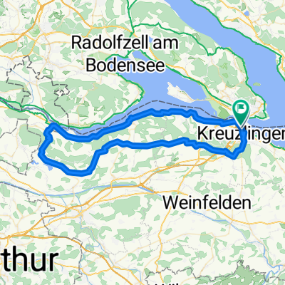 Rundfahrt Kreuzlingen - Bättershausen - Bommerweiher - Steckborn - Kreuzlingen
- Distance
- 71.5 km
- Ascent
- 920 m
- Descent
- 920 m
- Location
- Kreuzlingen, Thurgau, Switzerland
 Wäldi-Runde
- Distance
- 21.4 km
- Ascent
- 237 m
- Descent
- 207 m
- Location
- Kreuzlingen, Thurgau, Switzerland
 Rastplatztour dem Wasser nach
- Distance
- 18.4 km
- Ascent
- 26 m
- Descent
- 32 m
- Location
- Kreuzlingen, Thurgau, Switzerland
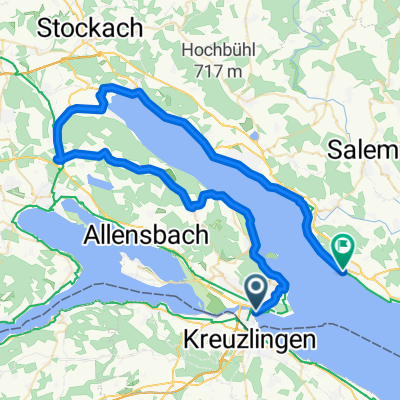 Von Konstanz um den Überlinger See nach Meersburg (Bodensee)
- Distance
- 64.9 km
- Ascent
- 318 m
- Descent
- 316 m
- Location
- Kreuzlingen, Thurgau, Switzerland
 Samstagmittagrunde
- Distance
- 46.3 km
- Ascent
- 288 m
- Descent
- 291 m
- Location
- Kreuzlingen, Thurgau, Switzerland
 Rund um den Ottoberg
- Distance
- 45.7 km
- Ascent
- 344 m
- Descent
- 341 m
- Location
- Kreuzlingen, Thurgau, Switzerland
 Bodenseeradweg ab Friedrichshafen
- Distance
- 255.9 km
- Ascent
- 268 m
- Descent
- 268 m
- Location
- Kreuzlingen, Thurgau, Switzerland
 Untersee
- Distance
- 70.5 km
- Ascent
- 218 m
- Descent
- 219 m
- Location
- Kreuzlingen, Thurgau, Switzerland
Open it in the app