

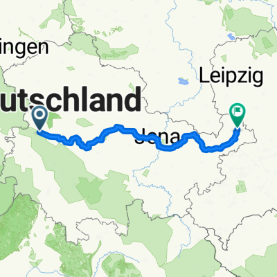
Eisenach -Kerspenhausen
A cycling route starting in Eisenach, Thuringia, Germany.
Overview
About this route
From Eisenach to Heimboldshausen following the Werraradweg. Long stretches of only unpaved road with many potholes. Route description can be found in the relevant literature.
In Unterneurode, heading towards Bad Hersfeld, I took a lunch break at the Tauchstadion. Very good food and also plentiful, at reasonable prices.
- -:--
- Duration
- 79.7 km
- Distance
- 537 m
- Ascent
- 549 m
- Descent
- ---
- Avg. speed
- 393 m
- Max. altitude

Route quality
Waytypes & surfaces along the route
Waytypes
Quiet road
14.4 km
(18 %)
Track
14.4 km
(18 %)
Surfaces
Paved
55.8 km
(70 %)
Unpaved
8 km
(10 %)
Asphalt
50.2 km
(63 %)
Gravel
6.4 km
(8 %)
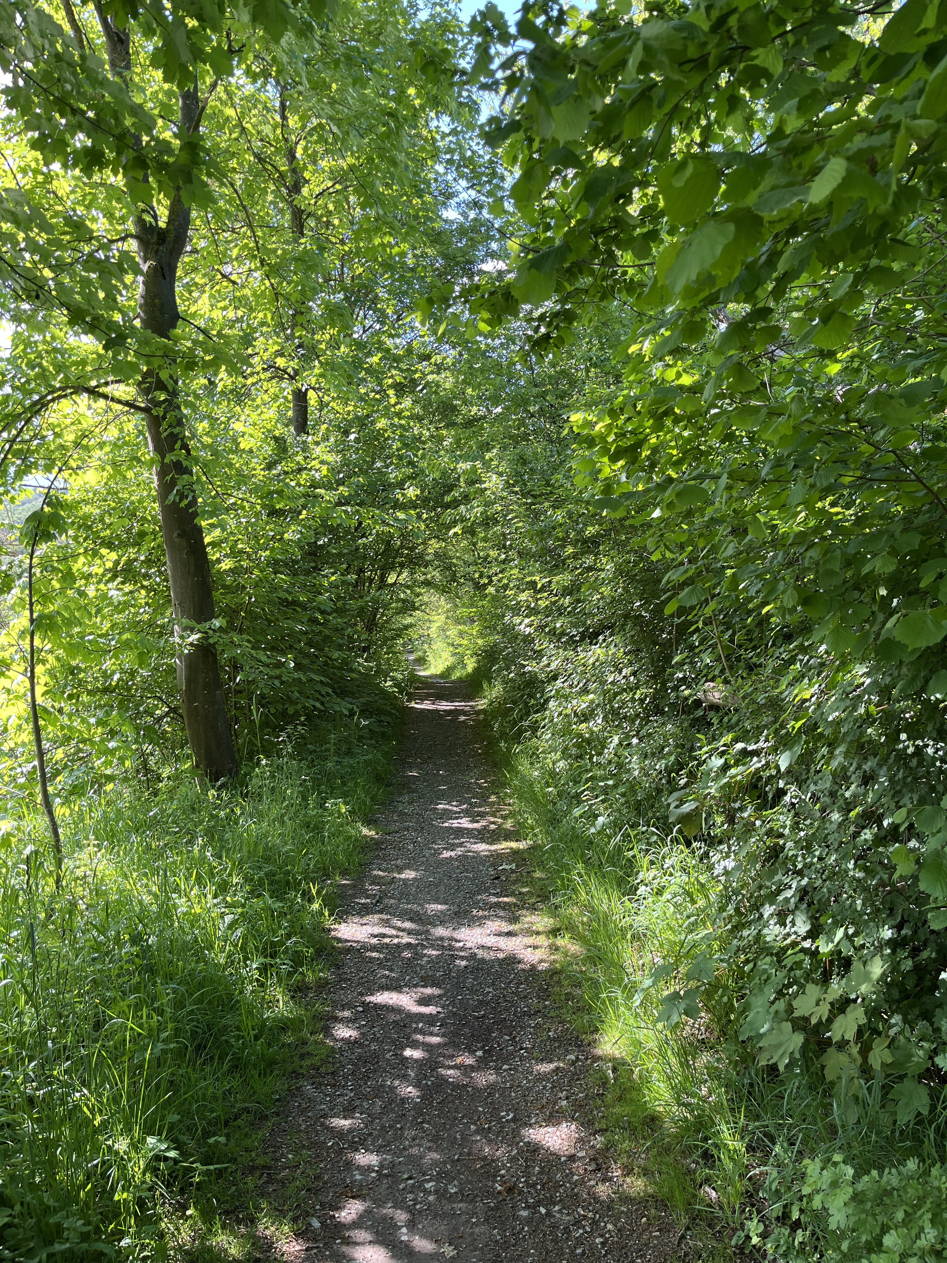
Route highlights
Points of interest along the route

Photo after 1 km
Der Marktplatz von Eisenach

Photo after 38.7 km

Point of interest after 51.4 km
Continue with Bikemap
Use, edit, or download this cycling route
You would like to ride Eisenach -Kerspenhausen or customize it for your own trip? Here is what you can do with this Bikemap route:
Free features
- Save this route as favorite or in collections
- Copy & plan your own version of this route
- Sync your route with Garmin or Wahoo
Premium features
Free trial for 3 days, or one-time payment. More about Bikemap Premium.
- Navigate this route on iOS & Android
- Export a GPX / KML file of this route
- Create your custom printout (try it for free)
- Download this route for offline navigation
Discover more Premium features.
Get Bikemap PremiumFrom our community
Other popular routes starting in Eisenach
 12.07.24 Eisenach-Wilhelmglücksbrunn
- Distance
- 34.3 km
- Ascent
- 245 m
- Descent
- 245 m
- Location
- Eisenach, Thuringia, Germany
![14.05.10 Eisenach-Weimar [Bilder]](https://media.bikemap.net/routes/490996/staticmaps/in_edc5d340-c37e-4125-ba2b-a2447fc4ffd7_400x400_bikemap-2021-3D-static.png) 14.05.10 Eisenach-Weimar [Bilder]
14.05.10 Eisenach-Weimar [Bilder]- Distance
- 100.9 km
- Ascent
- 508 m
- Descent
- 505 m
- Location
- Eisenach, Thuringia, Germany
 Eisenach -Kerspenhausen
- Distance
- 79.7 km
- Ascent
- 537 m
- Descent
- 549 m
- Location
- Eisenach, Thuringia, Germany
 Eisenach-Gotha
- Distance
- 43.2 km
- Ascent
- 272 m
- Descent
- 190 m
- Location
- Eisenach, Thuringia, Germany
 kurze Tour
- Distance
- 17.3 km
- Ascent
- 213 m
- Descent
- 205 m
- Location
- Eisenach, Thuringia, Germany
 Eisenach-Creuzburg
- Distance
- 43.3 km
- Ascent
- 283 m
- Descent
- 275 m
- Location
- Eisenach, Thuringia, Germany
 Thüringer Radfernwege - 11 - Thüringer Städtekette - D-Route 4
- Distance
- 233.6 km
- Ascent
- 1,500 m
- Descent
- 1,543 m
- Location
- Eisenach, Thuringia, Germany
 Goethestraße, Eisenach nach Planstraße, Amt Creuzburg
- Distance
- 26.1 km
- Ascent
- 394 m
- Descent
- 431 m
- Location
- Eisenach, Thuringia, Germany
Open it in the app