

Schöner und Leichter Rundkurs Köthen Aken Köthen
A cycling route starting in Osternienburg, Saxony-Anhalt, Germany.
Overview
About this route
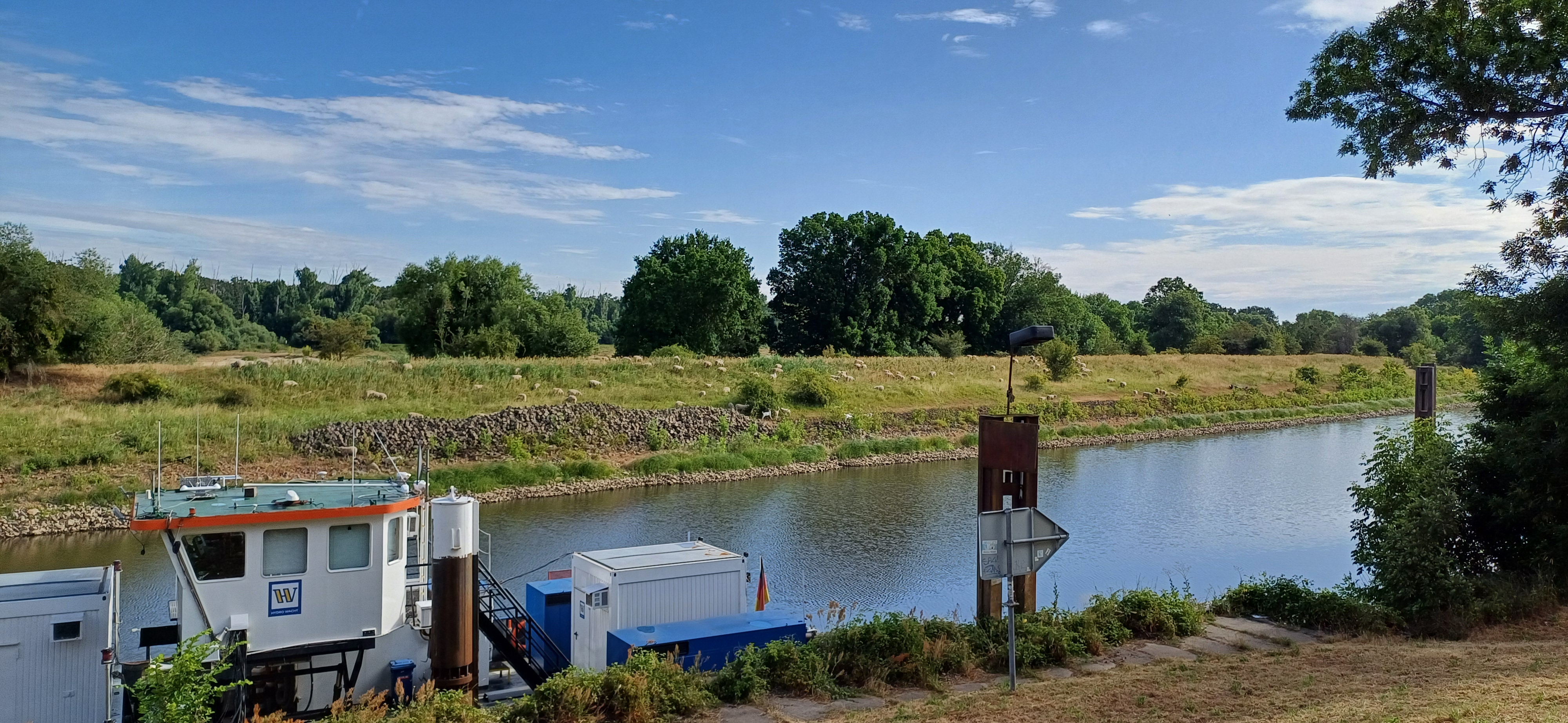
Easy circular route through nature. The route is mainly asphalt except for a few short sections, also suitable for racing bikes. The pub in Diebzig is highly recommended, good and above all affordable food and drinks, so if you are hungry or thirsty and traveling with family, you can quench your hunger and thirst there.
- -:--
- Duration
- 41.1 km
- Distance
- 38 m
- Ascent
- 37 m
- Descent
- ---
- Avg. speed
- 77 m
- Max. altitude
Route quality
Waytypes & surfaces along the route
Waytypes
Road
17.7 km
(43 %)
Path
5.8 km
(14 %)
Surfaces
Paved
25.9 km
(63 %)
Asphalt
25.9 km
(63 %)
Undefined
15.2 km
(37 %)
Continue with Bikemap
Use, edit, or download this cycling route
You would like to ride Schöner und Leichter Rundkurs Köthen Aken Köthen or customize it for your own trip? Here is what you can do with this Bikemap route:
Free features
- Save this route as favorite or in collections
- Copy & plan your own version of this route
- Sync your route with Garmin or Wahoo
Premium features
Free trial for 3 days, or one-time payment. More about Bikemap Premium.
- Navigate this route on iOS & Android
- Export a GPX / KML file of this route
- Create your custom printout (try it for free)
- Download this route for offline navigation
Discover more Premium features.
Get Bikemap PremiumFrom our community
Other popular routes starting in Osternienburg
 51.790° N 12.011° W nach 51.833° N 12.060° W
- Distance
- 9.1 km
- Ascent
- 16 m
- Descent
- 29 m
- Location
- Osternienburg, Saxony-Anhalt, Germany
 Rudolf-Breitscheid-Straße 30, Osternienburger Land nach Rudolf-Breitscheid-Straße 14, Osternienburger Land
- Distance
- 0.2 km
- Ascent
- 0 m
- Descent
- 0 m
- Location
- Osternienburg, Saxony-Anhalt, Germany
 Lindenstraße 13, Köthen (Anhalt) nach Lindenstraße 13, Köthen (Anhalt)
- Distance
- 0.1 km
- Ascent
- 0 m
- Descent
- 0 m
- Location
- Osternienburg, Saxony-Anhalt, Germany
 Bahnhofstraße nach Bahnhofstraße
- Distance
- 29.8 km
- Ascent
- 190 m
- Descent
- 160 m
- Location
- Osternienburg, Saxony-Anhalt, Germany
 Tag 2
Tag 2- Distance
- 61 km
- Ascent
- 63 m
- Descent
- 62 m
- Location
- Osternienburg, Saxony-Anhalt, Germany
 Ä#ÙÚ? nach Ä#ÙÚ?
- Distance
- 5 km
- Ascent
- 42 m
- Descent
- 39 m
- Location
- Osternienburg, Saxony-Anhalt, Germany
 Steady ride in
- Distance
- 4.9 km
- Ascent
- 20 m
- Descent
- 6 m
- Location
- Osternienburg, Saxony-Anhalt, Germany
 Mosigkauer Straße 2, Osternienburger Land nach Zum Waldstadion 2, Osternienburger Land
- Distance
- 24.7 km
- Ascent
- 86 m
- Descent
- 88 m
- Location
- Osternienburg, Saxony-Anhalt, Germany
Open it in the app