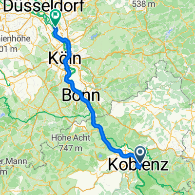
A-BE40
- 39.8 km
- 818 m
- 820 m
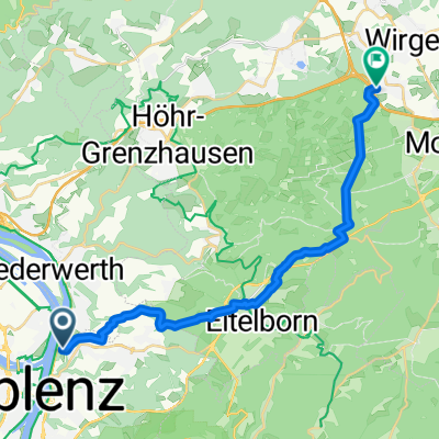
- Urbar, Rhineland-Palatinate, Germany
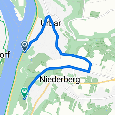
A cycling route starting in Urbar, Rhineland-Palatinate, Germany.
Overview
Maybe I will still ride to Ehrenbreitstein
created this 16 years ago
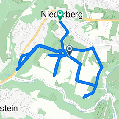
Route quality
Road
3 km
(67 %)
Quiet road
1 km
(23 %)
Paved
2.2 km
(49 %)
Unpaved
0 km
(1 %)
Asphalt
2.2 km
(49 %)
Gravel
0 km
(1 %)
Undefined
2.3 km
(50 %)
Continue with Bikemap
You would like to ride KO-Ehrenbreitstein or customize it for your own trip? Here is what you can do with this Bikemap route:
Free trial for 3 days, or one-time payment. More about Bikemap Premium.
Discover more Premium features.
Get Bikemap PremiumFrom our community
Open it in the app