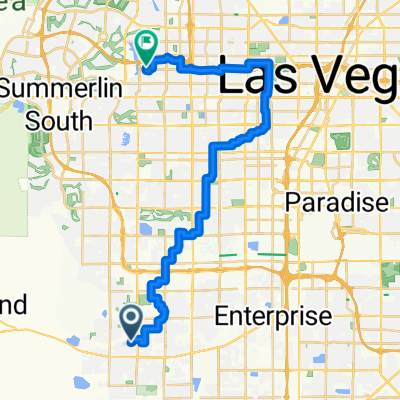
Raiders Way 1415, Henderson to Chaparral Road 1735, Henderson
- 102.4 km
- 559 m
- 515 m
- Enterprise, Nevada, United States
A cycling route starting in Enterprise, Nevada, United States.
Overview
This is a route I take to get to the River Mt. Loop from Las Vegas Blvd/ St. Rose Parkway. Ride the loop then back. To and from loop nice, slow ride. Round trip is about 73 miles.
created this 12 years ago
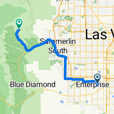
Route quality
Cycleway
17.7 km
(61 %)
Road
5.2 km
(18 %)
Paved
23.3 km
(80 %)
Asphalt
23.3 km
(80 %)
Undefined
5.8 km
(20 %)
Continue with Bikemap
You would like to ride M Resort to River Mt.Loop or customize it for your own trip? Here is what you can do with this Bikemap route:
Free trial for 3 days, or one-time payment. More about Bikemap Premium.
Discover more Premium features.
Get Bikemap PremiumFrom our community
Open it in the app