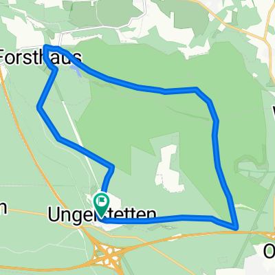
Ungelstetten-Schönberg-Runde
- 28.6 km
- 389 m
- 388 m
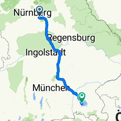
- Winkelhaid, Bavaria, Germany
A cycling route starting in Winkelhaid, Bavaria, Germany.
Overview
Winkelhaid (fire station) - lower Röthenbach Gorge - Ludergraben - Birkensee - Schwaig (E-Center)
created this 12 years ago
Route quality
Track
7.2 km
(49 %)
Path
5.6 km
(38 %)
Paved
6.2 km
(42 %)
Unpaved
8.2 km
(56 %)
Gravel
6.5 km
(44 %)
Asphalt
6 km
(41 %)
Continue with Bikemap
You would like to ride Heimfahrt Winkelhaid-Schwaig (ca. 14,7km) or customize it for your own trip? Here is what you can do with this Bikemap route:
Free trial for 3 days, or one-time payment. More about Bikemap Premium.
Discover more Premium features.
Get Bikemap PremiumFrom our community
Open it in the app