

St Columba's Way - Taynuilt to Dalmally St Columba's way-Taynuilt to Dalmally
A cycling route starting in Oban, Scotland, United Kingdom.
Overview
About this route
Spectacular coastal and mountain route mainly along rough track climbing nearly 500 metres from sea level before descending to Dalmally with final approach along old military road. This route also avoids the busy A85. This is the third section of the great pilgrim trail, St Columba's Way, from Iona to St Andrews (website:http://www.thewayofstandrews.com)
- -:--
- Duration
- 34.2 km
- Distance
- 728 m
- Ascent
- 706 m
- Descent
- ---
- Avg. speed
- ---
- Max. altitude

Route highlights
Points of interest along the route
Point of interest after 11.6 km
High point of Glen Noe,about 500metres
Continue with Bikemap
Use, edit, or download this cycling route
You would like to ride St Columba's Way - Taynuilt to Dalmally St Columba's way-Taynuilt to Dalmally or customize it for your own trip? Here is what you can do with this Bikemap route:
Free features
- Save this route as favorite or in collections
- Copy & plan your own version of this route
- Sync your route with Garmin or Wahoo
Premium features
Free trial for 3 days, or one-time payment. More about Bikemap Premium.
- Navigate this route on iOS & Android
- Export a GPX / KML file of this route
- Create your custom printout (try it for free)
- Download this route for offline navigation
Discover more Premium features.
Get Bikemap PremiumFrom our community
Other popular routes starting in Oban
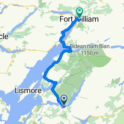 Bonawe to Fort William
- Distance
- 70 km
- Ascent
- 406 m
- Descent
- 412 m
- Location
- Oban, Scotland, United Kingdom
 Oban ardnamurchan mull circle
- Distance
- 237.6 km
- Ascent
- 962 m
- Descent
- 967 m
- Location
- Oban, Scotland, United Kingdom
 St Columba's Way - Taynuilt to Dalmally St Columba's way-Taynuilt to Dalmally
- Distance
- 34.2 km
- Ascent
- 728 m
- Descent
- 706 m
- Location
- Oban, Scotland, United Kingdom
 oban fort william
- Distance
- 77.4 km
- Ascent
- 264 m
- Descent
- 270 m
- Location
- Oban, Scotland, United Kingdom
 Oban 109km route
- Distance
- 109.2 km
- Ascent
- 896 m
- Descent
- 902 m
- Location
- Oban, Scotland, United Kingdom
 Scotland 2020 Day 07
- Distance
- 34.9 km
- Ascent
- 226 m
- Descent
- 225 m
- Location
- Oban, Scotland, United Kingdom
 H3-Oban-Mull-Iona-Tobermory-Mallaig 220Km
- Distance
- 222.4 km
- Ascent
- 981 m
- Descent
- 964 m
- Location
- Oban, Scotland, United Kingdom
 Schottland 2012
- Distance
- 602.3 km
- Ascent
- 1,406 m
- Descent
- 1,397 m
- Location
- Oban, Scotland, United Kingdom
Open it in the app