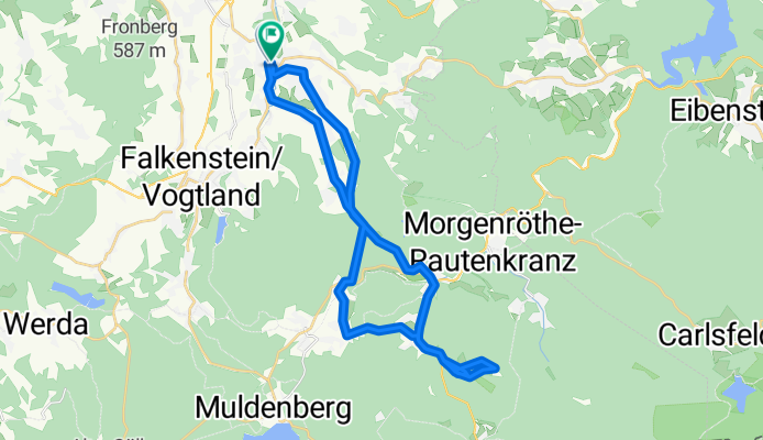

Blumenstr. Grünbach Schöneck Klingenthal Schneckenstein Grünbach und zurück
- 53.7 km
- 919 m
- 921 m
- Auerbach, Saxony, Germany
A cycling route starting in Auerbach, Saxony, Germany.
Overview
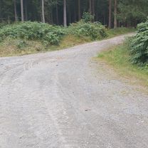
On an ascending side road from Auerbach to Beerheide, then a relatively poor forest path to Hammerbrücke. From there, onto the side road towards Tannebergsthal. There is an ascent towards Gottesberg (lake, suitable for swimming)! After that, again towards Auerbach, initially on the side road, then on the main road.
created this 16 years ago
Continue with Bikemap
You would like to ride Auerbach Gottesberg Auerbach Runde or customize it for your own trip? Here is what you can do with this Bikemap route:
Free trial for 3 days, or one-time payment. More about Bikemap Premium.
Discover more Premium features.
Get Bikemap PremiumFrom our community
Open it in the app