Saleve All Sides
- 127.5 km
- 2,898 m
- 2,902 m
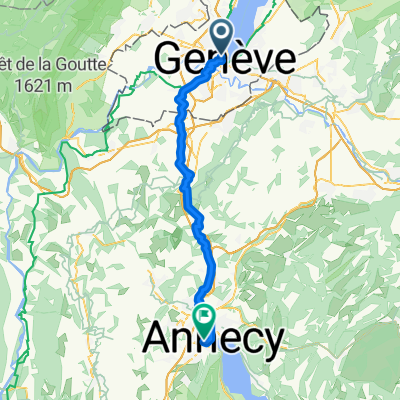
- Geneva, Canton of Geneva, Switzerland
A cycling route starting in Geneva, Canton of Geneva, Switzerland.
Overview
Itinéraire empruntant majoritairement des routes à faible trafic et des voies cyclables (Du Léman à la Mer).
Distance totale effective : 535 km
Dénivelé positif total : 4900 m
Durée : 5-6 jours (+ repos éventuel)
Plus d'informations sur www.europebybike.info
created this 12 years ago
Route quality
Road
191.9 km
(38 %)
Quiet road
90.9 km
(18 %)
Paved
186.9 km
(37 %)
Unpaved
5.1 km
(1 %)
Asphalt
181.8 km
(36 %)
Paved (undefined)
5.1 km
(1 %)
Route highlights
Camping "Le Calatrin", Paladru
Camping de Tournon HPA, Tournon-sur-Rhône
Campings, Les Ollières-sur-Eyrieux
Hôtels, Bollène
Campings, Avignon
Continue with Bikemap
You would like to ride Genève-Avignon or customize it for your own trip? Here is what you can do with this Bikemap route:
Free trial for 3 days, or one-time payment. More about Bikemap Premium.
Discover more Premium features.
Get Bikemap PremiumFrom our community
Open it in the app