

Mauerradweg-Flughafen Tempelhof
A cycling route starting in Märkisches Viertel, State of Berlin, Germany.
Overview
About this route
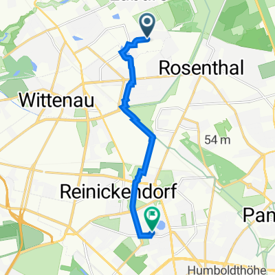
S-Bahnhof Wilhelmsruh
Berlin Wall Cycle Path heading South
Teltow Canal
Tempelhof Airport
Back on Wilmersdorfer str.
- -:--
- Duration
- 50 km
- Distance
- 80 m
- Ascent
- 79 m
- Descent
- ---
- Avg. speed
- ---
- Max. altitude
Route quality
Waytypes & surfaces along the route
Waytypes
Quiet road
15 km
(30 %)
Pedestrian area
9.5 km
(19 %)
Surfaces
Paved
39 km
(78 %)
Unpaved
1.5 km
(3 %)
Asphalt
37.5 km
(75 %)
Concrete
1.5 km
(3 %)
Continue with Bikemap
Use, edit, or download this cycling route
You would like to ride Mauerradweg-Flughafen Tempelhof or customize it for your own trip? Here is what you can do with this Bikemap route:
Free features
- Save this route as favorite or in collections
- Copy & plan your own version of this route
- Sync your route with Garmin or Wahoo
Premium features
Free trial for 3 days, or one-time payment. More about Bikemap Premium.
- Navigate this route on iOS & Android
- Export a GPX / KML file of this route
- Create your custom printout (try it for free)
- Download this route for offline navigation
Discover more Premium features.
Get Bikemap PremiumFrom our community
Other popular routes starting in Märkisches Viertel
 hausrunde, glienicke, schildow,schönfließ
- Distance
- 23.2 km
- Ascent
- 59 m
- Descent
- 59 m
- Location
- Märkisches Viertel, State of Berlin, Germany
 Senftenberger Ring 48, Berlin nach Vierwaldstätter Weg 7, Berlin
- Distance
- 6.5 km
- Ascent
- 20 m
- Descent
- 22 m
- Location
- Märkisches Viertel, State of Berlin, Germany
 👍🏻Vom Mv über Spandau aufs Land nach Seeburg👍🏻
- Distance
- 23.7 km
- Ascent
- 64 m
- Descent
- 66 m
- Location
- Märkisches Viertel, State of Berlin, Germany
 Rund um Lübars
- Distance
- 12.6 km
- Ascent
- 90 m
- Descent
- 87 m
- Location
- Märkisches Viertel, State of Berlin, Germany
 Bagger- & Köppchensee
- Distance
- 16.3 km
- Ascent
- 61 m
- Descent
- 61 m
- Location
- Märkisches Viertel, State of Berlin, Germany
 Senftenberger Ring 10, Berlin nach Senftenberger Ring 10, Berlin
- Distance
- 5 km
- Ascent
- 26 m
- Descent
- 27 m
- Location
- Märkisches Viertel, State of Berlin, Germany
 Mauerweg / Tegeler Fließ
- Distance
- 10.9 km
- Ascent
- 46 m
- Descent
- 54 m
- Location
- Märkisches Viertel, State of Berlin, Germany
 Senftenberger Ring 8, Berlin nach Senftenberger Ring 10, Berlin
- Distance
- 2.2 km
- Ascent
- 0 m
- Descent
- 0 m
- Location
- Märkisches Viertel, State of Berlin, Germany
Open it in the app