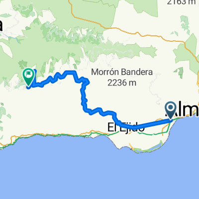
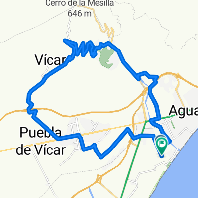
El Parador-Santa Fe
A cycling route starting in Aguadulce, Andalusia, Spain.
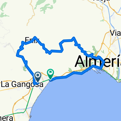
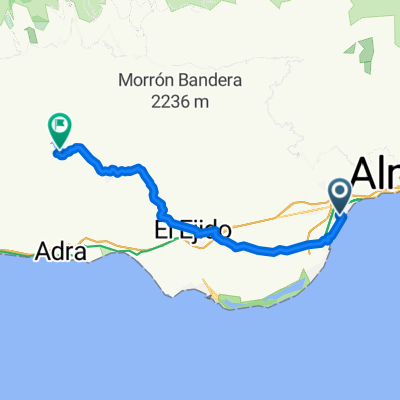
Overview
About this route
El Parador
AlmerĂa
Rioja
Santa Fe de MondĂșjar
- -:--
- Duration
- 36 km
- Distance
- 331 m
- Ascent
- 188 m
- Descent
- ---
- Avg. speed
- ---
- Max. altitude
Continue with Bikemap
Use, edit, or download this cycling route
You would like to ride El Parador-Santa Fe or customize it for your own trip? Here is what you can do with this Bikemap route:
Free features
- Save this route as favorite or in collections
- Copy & plan your own version of this route
- Sync your route with Garmin or Wahoo
Premium features
Free trial for 3 days, or one-time payment. More about Bikemap Premium.
- Navigate this route on iOS & Android
- Export a GPX / KML file of this route
- Create your custom printout (try it for free)
- Download this route for offline navigation
Discover more Premium features.
Get Bikemap PremiumFrom our community
Other popular routes starting in Aguadulce
- AGUADULCE-FELIX-TARTEL
- Distance
- 52 km
- Ascent
- 1,266 m
- Descent
- 1,268 m
- Location
- Aguadulce, Andalusia, Spain
- EL PARADOR-ENIX-Caseta Militares
- Distance
- 51.5 km
- Ascent
- 1,153 m
- Descent
- 1,156 m
- Location
- Aguadulce, Andalusia, Spain
- 4ÂȘ QUEDADA BTT EL PARADOR (15-05-2016)
- Distance
- 41.9 km
- Ascent
- 958 m
- Descent
- 958 m
- Location
- Aguadulce, Andalusia, Spain
- GRAN RUTA Roquetas-Alpujarra
- Distance
- 133 km
- Ascent
- 2,240 m
- Descent
- 2,242 m
- Location
- Aguadulce, Andalusia, Spain
- NUEVO MUNDO
- Distance
- 97.7 km
- Ascent
- 3,072 m
- Descent
- 2,794 m
- Location
- Aguadulce, Andalusia, Spain
- VĂcar barbara 2025
- Distance
- 48.3 km
- Ascent
- 1,948 m
- Descent
- 1,879 m
- Location
- Aguadulce, Andalusia, Spain
- EL PARADOR-MARCHAL-CHANATA
- Distance
- 18.8 km
- Ascent
- 1,166 m
- Descent
- 120 m
- Location
- Aguadulce, Andalusia, Spain
- VĂcar barbara 2025
- Distance
- 46.3 km
- Ascent
- 1,860 m
- Descent
- 1,746 m
- Location
- Aguadulce, Andalusia, Spain
Open it in the app