

Rheinhessen-Donnersberg-Glahn-Rheinhessen
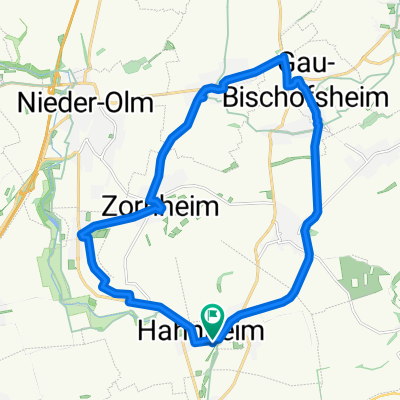
A cycling route starting in Hahnheim, Rhineland-Palatinate, Germany.
Overview
About this route
Scenically very beautiful route, predominantly with low car traffic (the exception being the small sections on the B 420).
- -:--
- Duration
- 173.5 km
- Distance
- 1,657 m
- Ascent
- 1,615 m
- Descent
- ---
- Avg. speed
- 348 m
- Max. altitude
Route quality
Waytypes & surfaces along the route
Waytypes
Track
29.5 km
(17 %)
Quiet road
15.6 km
(9 %)
Surfaces
Paved
140.5 km
(81 %)
Unpaved
12.1 km
(7 %)
Asphalt
128.4 km
(74 %)
Paved (undefined)
6.9 km
(4 %)
Continue with Bikemap
Use, edit, or download this cycling route
You would like to ride Rheinhessen-Donnersberg-Glahn-Rheinhessen or customize it for your own trip? Here is what you can do with this Bikemap route:
Free features
- Save this route as favorite or in collections
- Copy & plan your own version of this route
- Split it into stages to create a multi-day tour
- Sync your route with Garmin or Wahoo
Premium features
Free trial for 3 days, or one-time payment. More about Bikemap Premium.
- Navigate this route on iOS & Android
- Export a GPX / KML file of this route
- Create your custom printout (try it for free)
- Download this route for offline navigation
Discover more Premium features.
Get Bikemap PremiumFrom our community
Other popular routes starting in Hahnheim
 Südliches Rheinhessen I
- Distance
- 56.9 km
- Ascent
- 300 m
- Descent
- 282 m
- Location
- Hahnheim, Rhineland-Palatinate, Germany
 südl. rheinhessisches Hügelland und Rheinebene
- Distance
- 54.7 km
- Ascent
- 255 m
- Descent
- 252 m
- Location
- Hahnheim, Rhineland-Palatinate, Germany
 Mittelgroße Runde
- Distance
- 31.9 km
- Ascent
- 383 m
- Descent
- 383 m
- Location
- Hahnheim, Rhineland-Palatinate, Germany
 1 (Gabsheim)
- Distance
- 21.6 km
- Ascent
- 136 m
- Descent
- 132 m
- Location
- Hahnheim, Rhineland-Palatinate, Germany
 Rheinhessen-Donnersberg-Glahn-Rheinhessen
- Distance
- 173.5 km
- Ascent
- 1,657 m
- Descent
- 1,615 m
- Location
- Hahnheim, Rhineland-Palatinate, Germany
 Alzey Albig
- Distance
- 40.4 km
- Ascent
- 141 m
- Descent
- 140 m
- Location
- Hahnheim, Rhineland-Palatinate, Germany
 Anstieg Zornheimer Berg aus Richtung Hahnheim
- Distance
- 1.6 km
- Ascent
- 107 m
- Descent
- 0 m
- Location
- Hahnheim, Rhineland-Palatinate, Germany
 10 (Ebersheim)
- Distance
- 21.5 km
- Ascent
- 195 m
- Descent
- 198 m
- Location
- Hahnheim, Rhineland-Palatinate, Germany
Open it in the app