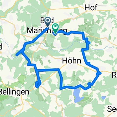
ww-steig rund um unnau
- 30.3 km
- 651 m
- 651 m
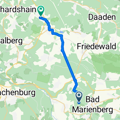
- Bad Marienberg, Rhineland-Palatinate, Germany
A cycling route starting in Bad Marienberg, Rhineland-Palatinate, Germany.
Overview
Bad Marienberger RTF 2017 - 46 km
RTF der WSG - Bad Marienberg e.V.
Alle weiteren Hinweise zu dieser Strecke -> hier anklicken
created this 12 years ago
Route quality
Road
23.2 km
(51 %)
Quiet road
8.2 km
(18 %)
Paved
23.6 km
(52 %)
Unpaved
1.4 km
(3 %)
Asphalt
22.7 km
(50 %)
Paved (undefined)
0.9 km
(2 %)
Route highlights
Kontrolle Hellenhahn
Continue with Bikemap
You would like to ride Bad Marienberger RTF 2017 der WSG - Bad Marienberg e.V. - 46 km Strecke or customize it for your own trip? Here is what you can do with this Bikemap route:
Free trial for 3 days, or one-time payment. More about Bikemap Premium.
Discover more Premium features.
Get Bikemap PremiumFrom our community
Open it in the app