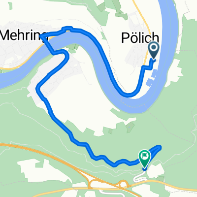
Detzem-Mehring-Bekond (Bergstrecke)
- 13.7 km
- 325 m
- 270 m
- Pölich, Rhineland-Palatinate, Germany
A cycling route starting in Pölich, Rhineland-Palatinate, Germany.
Overview
4.5 km camping Riol by the lake - 5.5 km /10.0/ road junction in Schweich - small bridge to the other side. 17.6 km / 27.6 / to the bridge into the old town of Trier 13.1 km / 40.7/ ____________________________________- through the city - Porta Nigra Roman gate to the Alps, 3 Roman baths Thermae, Basilica of Constantine, cathedral, Roman bridge. 7.0 / 47.7/ km ____________________________________- to Konz - camping, 4.3 km /52.0/ - at the end!!! Wasserliesch on the right side by the river sports field and chance for accommodation. - ___________________________________ LIDL in Trier near the train station to the park and then /1300 m/. Further to the bridge and turn left to the old town. With the regular bridge then 3 km left. Return - along the Moselle and intersection Pacelliufer with Topferstr. to the tracks and LIDL. Before the Adenauer bridge - large.
created this 12 years ago
Route quality
Path
18 km
(43 %)
Access road
2.5 km
(6 %)
Paved
40.2 km
(96 %)
Asphalt
40.2 km
(96 %)
Undefined
1.7 km
(4 %)
Continue with Bikemap
You would like to ride 3/ Polich - Wasserliesch.przy boisku. or customize it for your own trip? Here is what you can do with this Bikemap route:
Free trial for 3 days, or one-time payment. More about Bikemap Premium.
Discover more Premium features.
Get Bikemap PremiumFrom our community
Open it in the app