Südliches Rheinhessen I
- 56.9 km
- 300 m
- 282 m
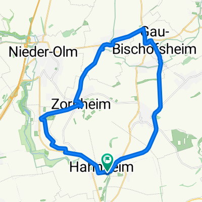
- Hahnheim, Rhineland-Palatinate, Germany
A cycling route starting in Hahnheim, Rhineland-Palatinate, Germany.
Overview
Scenic route with beautiful views (e.g. Donnersberg, Petersberg, Odenwald). Predominantly good road surface, low car traffic. In some parts, there are also good bike paths directly next to the roads, suitable for road bikes.
About 500 m steep section with about 10% at the exit of Dittelsheim-Heßloch.
created this 16 years ago
Route quality
Track
12.6 km
(23 %)
Quiet road
7.7 km
(14 %)
Paved
46 km
(84 %)
Unpaved
3.3 km
(6 %)
Asphalt
40 km
(73 %)
Paved (undefined)
3.8 km
(7 %)
Continue with Bikemap
You would like to ride südl. rheinhessisches Hügelland und Rheinebene or customize it for your own trip? Here is what you can do with this Bikemap route:
Free trial for 3 days, or one-time payment. More about Bikemap Premium.
Discover more Premium features.
Get Bikemap PremiumFrom our community
Open it in the app