

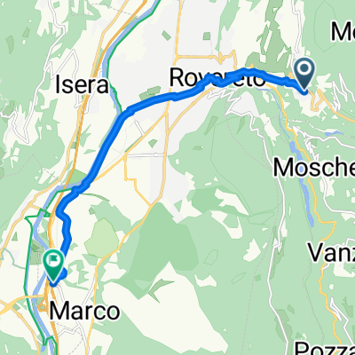
Desenzano del Garda - Rovereto
A cycling route starting in Trambileno, Trentino-Alto Adige, Italy.
Overview
About this route
- -:--
- Duration
- 193 km
- Distance
- 3,361 m
- Ascent
- 3,752 m
- Descent
- ---
- Avg. speed
- ---
- Max. altitude

Route quality
Waytypes & surfaces along the route
Waytypes
Road
56 km
(29 %)
Quiet road
11.6 km
(6 %)
Surfaces
Paved
179.5 km
(93 %)
Unpaved
5.8 km
(3 %)
Asphalt
179.5 km
(93 %)
Gravel
1.9 km
(1 %)
Route highlights
Points of interest along the route
Point of interest after 44.7 km
Monte Baldo 1615m
Point of interest after 83.6 km
Punta Veleno 1156m
Point of interest after 133.4 km
Tremosine 650m
Continue with Bikemap
Use, edit, or download this cycling route
You would like to ride Desenzano del Garda - Rovereto or customize it for your own trip? Here is what you can do with this Bikemap route:
Free features
- Save this route as favorite or in collections
- Copy & plan your own version of this route
- Split it into stages to create a multi-day tour
- Sync your route with Garmin or Wahoo
Premium features
Free trial for 3 days, or one-time payment. More about Bikemap Premium.
- Navigate this route on iOS & Android
- Export a GPX / KML file of this route
- Create your custom printout (try it for free)
- Download this route for offline navigation
Discover more Premium features.
Get Bikemap PremiumFrom our community
Other popular routes starting in Trambileno
 Via Chiesa San Martino nach Via Per Marco
- Distance
- 9.7 km
- Ascent
- 39 m
- Descent
- 293 m
- Location
- Trambileno, Trentino-Alto Adige, Italy
 Percorso ad alta velocità in Rovereto
- Distance
- 7.6 km
- Ascent
- 25 m
- Descent
- 535 m
- Location
- Trambileno, Trentino-Alto Adige, Italy
 Forestale Rovereto Madonna del Lares
- Distance
- 44.3 km
- Ascent
- 1,818 m
- Descent
- 1,821 m
- Location
- Trambileno, Trentino-Alto Adige, Italy
 Desenzano del Garda - Rovereto
- Distance
- 193 km
- Ascent
- 3,361 m
- Descent
- 3,752 m
- Location
- Trambileno, Trentino-Alto Adige, Italy
 Rovereto strada delle Malghe Strada del Pasubio
- Distance
- 41.3 km
- Ascent
- 1,742 m
- Descent
- 1,743 m
- Location
- Trambileno, Trentino-Alto Adige, Italy
 valpolicella
- Distance
- 173 km
- Ascent
- 5,914 m
- Descent
- 5,379 m
- Location
- Trambileno, Trentino-Alto Adige, Italy
 Percorso ad alta velocità in Rovereto
- Distance
- 7.6 km
- Ascent
- 39 m
- Descent
- 528 m
- Location
- Trambileno, Trentino-Alto Adige, Italy
 Via Chiesa San Martino 18, Rovereto do Via Brennero 6, Calliano
- Distance
- 7.7 km
- Ascent
- 74 m
- Descent
- 303 m
- Location
- Trambileno, Trentino-Alto Adige, Italy
Open it in the app