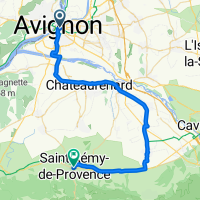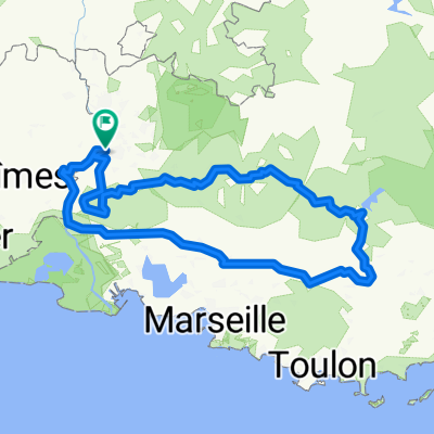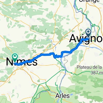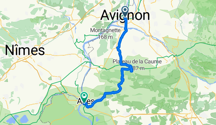
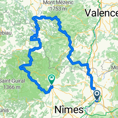
Avignon Ardèche Stevenson2
- 475 km
- 13,648 m
- 13,539 m
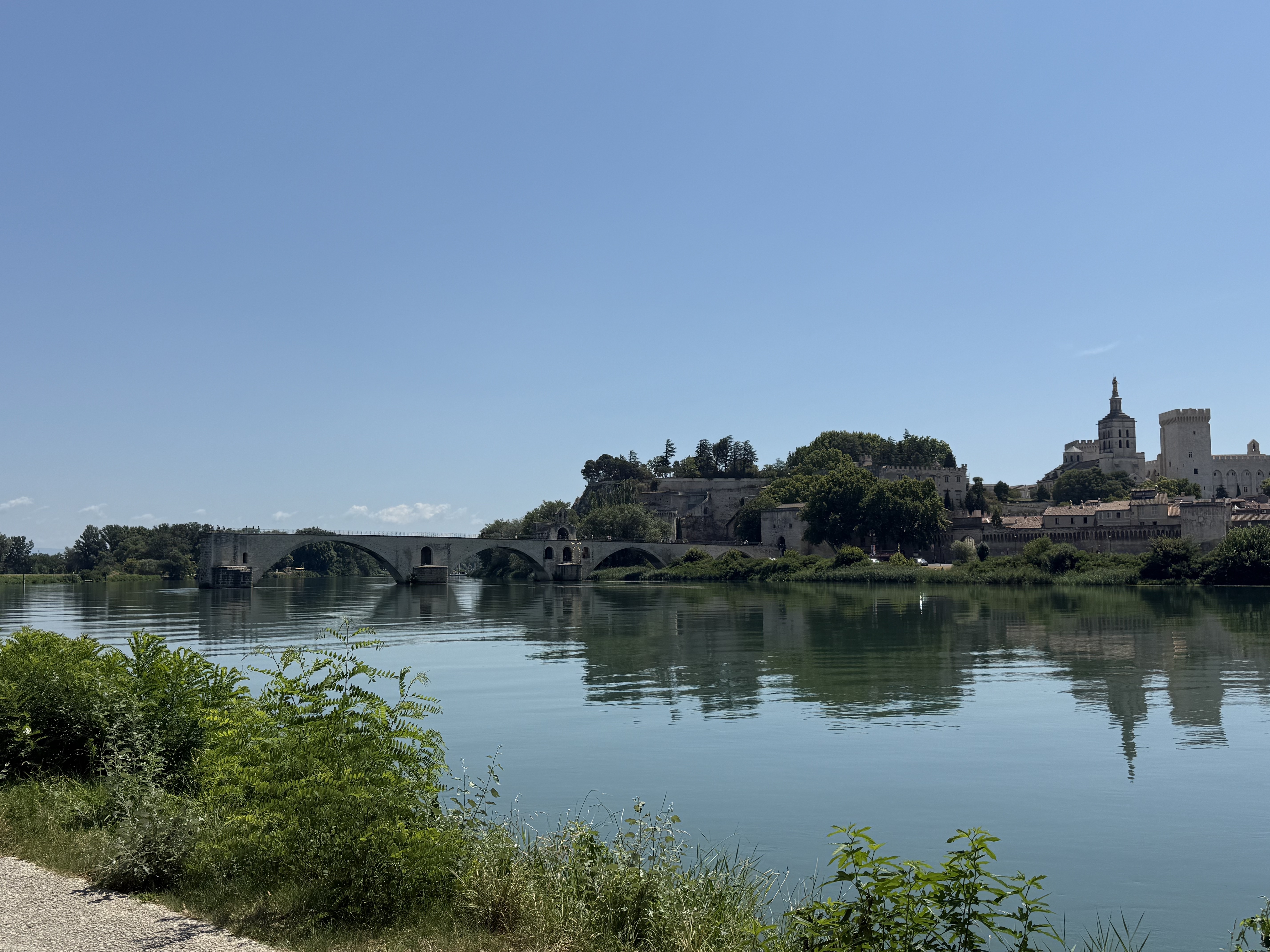
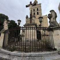
- Avignon, Provence-Alpes-Côte d'Azur Region, France
A cycling route starting in Avignon, Provence-Alpes-Côte d'Azur Region, France.
Overview
2nd stage of the Provencetour
created this 18 years ago
Route quality
Road
33.6 km
(57 %)
Quiet road
10 km
(17 %)
Paved
45.4 km
(77 %)
Asphalt
44.8 km
(76 %)
Concrete
0.6 km
(1 %)
Undefined
13.6 km
(23 %)
Continue with Bikemap
You would like to ride Avignon Arles or customize it for your own trip? Here is what you can do with this Bikemap route:
Free trial for 3 days, or one-time payment. More about Bikemap Premium.
Discover more Premium features.
Get Bikemap PremiumFrom our community
Open it in the app