

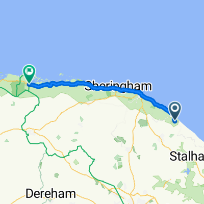
Coastal Broads Trail
A cycling route starting in Mundesley, England, United Kingdom.
Overview
About this route
A 75 miler heading south along the coast, through the Broads national park and back north towards Cromer
- -:--
- Duration
- 119.7 km
- Distance
- 125 m
- Ascent
- 125 m
- Descent
- ---
- Avg. speed
- ---
- Max. altitude

Continue with Bikemap
Use, edit, or download this cycling route
You would like to ride Coastal Broads Trail or customize it for your own trip? Here is what you can do with this Bikemap route:
Free features
- Save this route as favorite or in collections
- Copy & plan your own version of this route
- Split it into stages to create a multi-day tour
- Sync your route with Garmin or Wahoo
Premium features
Free trial for 3 days, or one-time payment. More about Bikemap Premium.
- Navigate this route on iOS & Android
- Export a GPX / KML file of this route
- Create your custom printout (try it for free)
- Download this route for offline navigation
Discover more Premium features.
Get Bikemap PremiumFrom our community
Other popular routes starting in Mundesley
 Coastal Broads Trail
- Distance
- 119.7 km
- Ascent
- 125 m
- Descent
- 125 m
- Location
- Mundesley, England, United Kingdom
 Church Lane, Bacton to Westcliff Avenue
- Distance
- 19.6 km
- Ascent
- 139 m
- Descent
- 130 m
- Location
- Mundesley, England, United Kingdom
 route 3
- Distance
- 12 km
- Ascent
- 274 m
- Descent
- 264 m
- Location
- Mundesley, England, United Kingdom
 The North Norfolk Centurion
- Distance
- 160.3 km
- Ascent
- 341 m
- Descent
- 339 m
- Location
- Mundesley, England, United Kingdom
 10 Chapel St, Norwich nach 4 Charing Cross, Norwich
- Distance
- 31 km
- Ascent
- 122 m
- Descent
- 148 m
- Location
- Mundesley, England, United Kingdom
 Mundesley - Wells-next-the-Sea
- Distance
- 46.8 km
- Ascent
- 86 m
- Descent
- 79 m
- Location
- Mundesley, England, United Kingdom
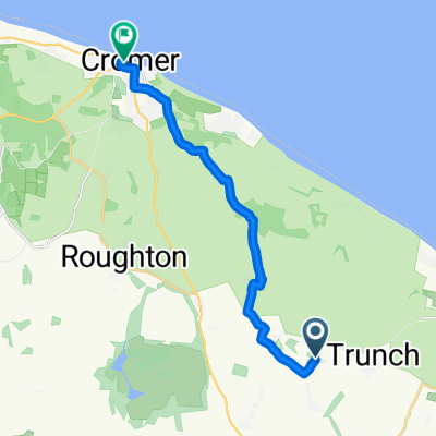 Brewery Road, Trunch, North Walsham to Church St, Cromer
- Distance
- 11.8 km
- Ascent
- 81 m
- Descent
- 96 m
- Location
- Mundesley, England, United Kingdom
 Route 2
- Distance
- 11.3 km
- Ascent
- 343 m
- Descent
- 342 m
- Location
- Mundesley, England, United Kingdom
Open it in the app