Fahrwoche 2013 - 2.Ausfahrt
A cycling route starting in Thal, Styria, Austria.
Overview
About this route
- -:--
- Duration
- 68.2 km
- Distance
- 929 m
- Ascent
- 646 m
- Descent
- ---
- Avg. speed
- ---
- Max. altitude
Route quality
Waytypes & surfaces along the route
Waytypes
Road
15.7 km
(23 %)
Quiet road
8.2 km
(12 %)
Surfaces
Paved
34.8 km
(51 %)
Asphalt
33.4 km
(49 %)
Paved (undefined)
1.4 km
(2 %)
Undefined
33.4 km
(49 %)
Route highlights
Points of interest along the route
Point of interest after 29.3 km
Sprint
Continue with Bikemap
Use, edit, or download this cycling route
You would like to ride Fahrwoche 2013 - 2.Ausfahrt or customize it for your own trip? Here is what you can do with this Bikemap route:
Free features
- Save this route as favorite or in collections
- Copy & plan your own version of this route
- Sync your route with Garmin or Wahoo
Premium features
Free trial for 3 days, or one-time payment. More about Bikemap Premium.
- Navigate this route on iOS & Android
- Export a GPX / KML file of this route
- Create your custom printout (try it for free)
- Download this route for offline navigation
Discover more Premium features.
Get Bikemap PremiumFrom our community
Other popular routes starting in Thal
Linakstraße 3c, Thal - Thalerseestraße 103- Distance
- 9.7 km
- Ascent
- 124 m
- Descent
- 101 m
- Location
- Thal, Styria, Austria
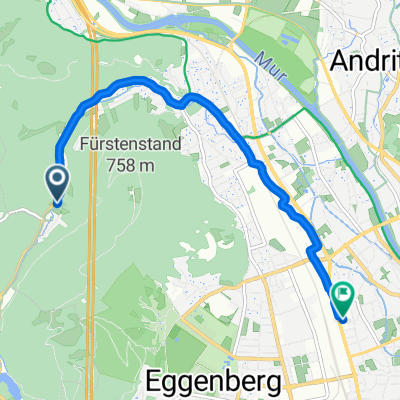
Thal - Deutschlandsberg- Distance
- 46.4 km
- Ascent
- 468 m
- Descent
- 558 m
- Location
- Thal, Styria, Austria
Fahrwoche 2013 - 2.Ausfahrt- Distance
- 68.2 km
- Ascent
- 929 m
- Descent
- 646 m
- Location
- Thal, Styria, Austria
I´ll be back - Thal- Distance
- 48.3 km
- Ascent
- 815 m
- Descent
- 823 m
- Location
- Thal, Styria, Austria
Fahrwoche 2014 - 2.Ausfahrt- Distance
- 71.3 km
- Ascent
- 700 m
- Descent
- 657 m
- Location
- Thal, Styria, Austria
Fürstenstandweg circuit, Graz- Distance
- 7.1 km
- Ascent
- 325 m
- Descent
- 313 m
- Location
- Thal, Styria, Austria
Gouvernatorman - Sprinttriathlon- Distance
- 27.3 km
- Ascent
- 307 m
- Descent
- 310 m
- Location
- Thal, Styria, Austria
20160504_162114.gpx- Distance
- 14.8 km
- Ascent
- 84 m
- Descent
- 244 m
- Location
- Thal, Styria, Austria
Open it in the app


