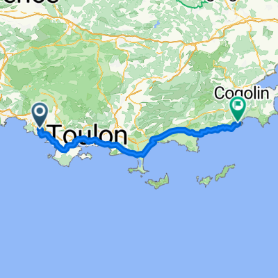
Route zu Carrefour
- 17.7 km
- 176 m
- 160 m
- Bandol, Provence-Alpes-Côte d'Azur Region, France
A cycling route starting in Bandol, Provence-Alpes-Côte d'Azur Region, France.
Overview
Bandol Le Plan Route of the Springs Path of Cuges Route of the Oratories Royal Path Le Brulat Valley of Silence Le Beausset Path of Pignet Path of St Brigitte Les Ginestès St Anne du Castellet Le Broussan Col de Garde Lime Kiln Path Avenue of the Millers Dardennes The Oak Bar Le Coudon Route of the Favières Red Earth Path Corniche Escartefigue Route of Faveyrolles Ollioules Route of Sanary Old Toulon Path Path of the Canolle Bandol
created this 12 years ago
Route quality
Quiet road
23.3 km
(27 %)
Road
19.8 km
(23 %)
Paved
38.8 km
(45 %)
Asphalt
38.8 km
(45 %)
Undefined
47.4 km
(55 %)
Continue with Bikemap
You would like to ride Bandol 89km or customize it for your own trip? Here is what you can do with this Bikemap route:
Free trial for 3 days, or one-time payment. More about Bikemap Premium.
Discover more Premium features.
Get Bikemap PremiumFrom our community
Open it in the app