RHODIUS Brohltal RTF der RSF Brohltal e.V. - 45 km Strecke
- 47.7 km
- 763 m
- 769 m
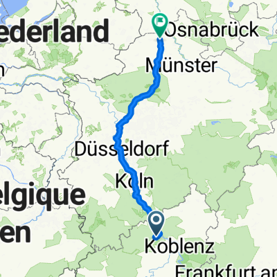
- Burgbrohl, Rhineland-Palatinate, Germany
A cycling route starting in Burgbrohl, Rhineland-Palatinate, Germany.
Overview
Brohltal 2022 - 73 km
Permanente RTF der RSF Brohltal e.V.
Alle weiteren Hinweise zu dieser Strecke -> hier anklicken
created this 12 years ago
Route quality
Road
8.5 km
(11 %)
Quiet road
0.8 km
(1 %)
Paved
52.1 km
(67 %)
Asphalt
52.1 km
(67 %)
Undefined
25.6 km
(33 %)
Route highlights
Start und Ziel (alternativ):<br> <b>SB-Tankstelle Burgbrohl</b>
Kontrolle <b>Kesseling</b>
Kontrolle <b>Riedener Mühlen</b>
Continue with Bikemap
You would like to ride Brohltal 2022 - 73 km Permanente der RSF Brohltal e.V. or customize it for your own trip? Here is what you can do with this Bikemap route:
Free trial for 3 days, or one-time payment. More about Bikemap Premium.
Discover more Premium features.
Get Bikemap PremiumFrom our community
Open it in the app