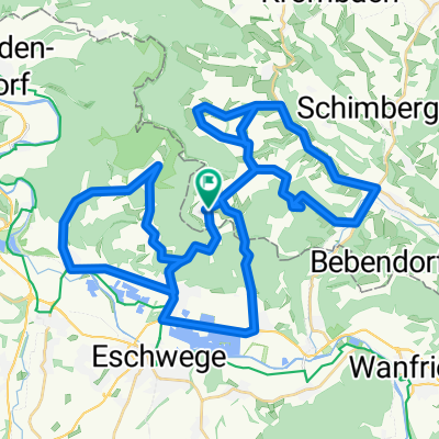
Etappe 3a: Schwebda (Eschwege) - Eisenach
- 61 km
- 373 m
- 342 m
- Kella, Thuringia, Germany
A cycling route starting in Kella, Thuringia, Germany.
Overview
Route along the Werra Cycle Path and the Thuringia City Chain. In Eisenach, I went to the train station a bit suboptimally. Good and very good surface, sometimes a bit narrow paths, but very beautiful scenery.
created this 16 years ago
Route quality
Track
18.3 km
30 %
Quiet road
16.5 km
27 %
Paved
39 km
(64 %)
Unpaved
12.8 km
(21 %)
Asphalt
34.8 km
57 %
Gravel
9.8 km
16 %
Continue with Bikemap
You would like to ride Etappe 3a: Schwebda (Eschwege) - Eisenach or customize it for your own trip? Here is what you can do with this Bikemap route:
Free trial for 3 days, or one-time payment. More about Bikemap Premium.
Discover more Premium features.
Get Bikemap PremiumFrom our community
Open it in the app