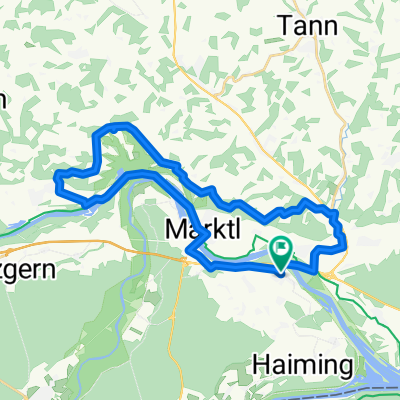

Einmal Bergham und zurück
- 15.3 km
- 51 m
- 52 m
- Stammham, Bavaria, Germany
A cycling route starting in Stammham, Bavaria, Germany.
Overview
Across the Inn into the Lower Bavarian hill country, which in Upper Bavarian territory is still called Holzland.
Diverse views of the landscape along the Inn river. During föhn weather, you can enjoy alpine panoramas and views over the Inn-Salzach region from Leonberg.
A few climbs make the route a sporty challenge.
created this 13 years ago
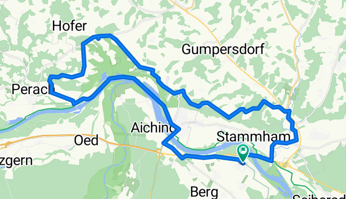
Route quality
Quiet road
14 km
47 %
Track
6.8 km
23 %
Paved
17 km
(57 %)
Unpaved
8 km
(27 %)
Asphalt
16.4 km
55 %
Gravel
6.8 km
23 %
Continue with Bikemap
You would like to ride Niedergottsauer Innleiten-Runde (Untertürken-Perach) or customize it for your own trip? Here is what you can do with this Bikemap route:
Free trial for 3 days, or one-time payment. More about Bikemap Premium.
Discover more Premium features.
Get Bikemap PremiumFrom our community
Open it in the app