Nordhausen - Stolberg
A cycling route starting in Nordhausen, Free State of Thuringia, Germany.
Overview
About this route
Strecke:
Nordhausen - Bielen - Urbach - Alter Stolberg über Kalkhütte und "Stein Nr. 100" - Iberg Talsperre - Rodishain - Rottleberode - Stolberg - zurück bis Iberg Talsperre - Steigerthal - über "Schwarzen Weg" bis Himmelgarten - Nordhausen
Infos:
6-7 Stunden bei wenigen Pausen und mittleren Tempo<br />
nur wenig Straße
teilweise Asphaltierte Radwege
unbefestigte Wege sind teilsweise in sehr schlechten Zustand<br />
- -:--
- Duration
- 52.3 km
- Distance
- 509 m
- Ascent
- 506 m
- Descent
- ---
- Avg. speed
- ---
- Max. altitude
Route highlights
Points of interest along the route
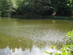
Point of interest after 12.6 km
ehemaliges Waldbad Urbach
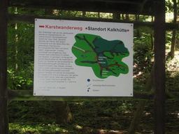
Photo after 13.5 km
Karstwanderweg, Standort "Kalkhütte"

Photo after 13.7 km
Alter Grenstein von 1735 zwischen Kursachsen und Hannover
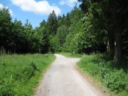
Photo after 13.8 km
Naturschutzgebiet "Alte Stolberg"

Point of interest after 17.1 km
Iberg Talsperre

Photo after 20.9 km
Blick Richtung Rodishain

Point of interest after 26.3 km
Teich im Thyratal
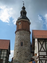
Photo after 29.4 km
Stolberg

Photo after 29.4 km
Stolberg
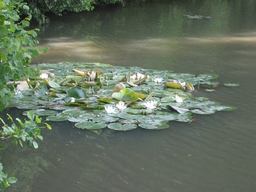
Photo after 31.8 km
Teich im Thyratal

Photo after 39 km
Rodishain

Photo after 39.3 km
Blick Richtung Rottleberode

Photo after 41.1 km
Eidechse beim Sonnenbad
Continue with Bikemap
Use, edit, or download this cycling route
You would like to ride Nordhausen - Stolberg or customize it for your own trip? Here is what you can do with this Bikemap route:
Free features
- Save this route as favorite or in collections
- Copy & plan your own version of this route
- Sync your route with Garmin or Wahoo
Premium features
Free trial for 3 days, or one-time payment. More about Bikemap Premium.
- Navigate this route on iOS & Android
- Export a GPX / KML file of this route
- Create your custom printout (try it for free)
- Download this route for offline navigation
Discover more Premium features.
Get Bikemap PremiumFrom our community
Other popular routes starting in Nordhausen
 Rund um Nordhausen
- Distance
- 36.3 km
- Ascent
- 376 m
- Descent
- 360 m
- Location
- Nordhausen, Free State of Thuringia, Germany
 Sattelköpfe über Kohnstein
- Distance
- 11.2 km
- Ascent
- 267 m
- Descent
- 269 m
- Location
- Nordhausen, Free State of Thuringia, Germany
 Nördlich rund um NDH
- Distance
- 21.6 km
- Ascent
- 229 m
- Descent
- 229 m
- Location
- Nordhausen, Free State of Thuringia, Germany
 Nordhausen-Neustadt-Rottleberode-Berga-Nordhausen
- Distance
- 52.7 km
- Ascent
- 1,056 m
- Descent
- 1,060 m
- Location
- Nordhausen, Free State of Thuringia, Germany
 Cappuccino-Tour Südharz-Kyffhäuser
- Distance
- 104.1 km
- Ascent
- 1,274 m
- Descent
- 1,266 m
- Location
- Nordhausen, Free State of Thuringia, Germany
 Kelbra Stausee
- Distance
- 36.4 km
- Ascent
- 74 m
- Descent
- 79 m
- Location
- Nordhausen, Free State of Thuringia, Germany
 Nach Harzungen
- Distance
- 30.4 km
- Ascent
- 93 m
- Descent
- 138 m
- Location
- Nordhausen, Free State of Thuringia, Germany
 Nordhausen runde – Trail Runde von Nordhausen-Altentor
- Distance
- 19.9 km
- Ascent
- 246 m
- Descent
- 247 m
- Location
- Nordhausen, Free State of Thuringia, Germany
Open it in the app

