Route de Massif Central - take 1
A cycling route starting in Espaly-Saint-Marcel, Auvergne-Rhône-Alpes, France.
Overview
About this route
- -:--
- Duration
- 362.1 km
- Distance
- 5,810 m
- Ascent
- 5,788 m
- Descent
- ---
- Avg. speed
- 1,587 m
- Max. altitude
Route quality
Waytypes & surfaces along the route
Waytypes
Quiet road
36.2 km
(10 %)
Road
14.5 km
(4 %)
Surfaces
Paved
159.3 km
(44 %)
Asphalt
159.3 km
(44 %)
Undefined
202.8 km
(56 %)
Route highlights
Points of interest along the route
Point of interest after 91.7 km
Nuit #1
Continue with Bikemap
Use, edit, or download this cycling route
You would like to ride Route de Massif Central - take 1 or customize it for your own trip? Here is what you can do with this Bikemap route:
Free features
- Save this route as favorite or in collections
- Copy & plan your own version of this route
- Split it into stages to create a multi-day tour
- Sync your route with Garmin or Wahoo
Premium features
Free trial for 3 days, or one-time payment. More about Bikemap Premium.
- Navigate this route on iOS & Android
- Export a GPX / KML file of this route
- Create your custom printout (try it for free)
- Download this route for offline navigation
Discover more Premium features.
Get Bikemap PremiumFrom our community
Other popular routes starting in Espaly-Saint-Marcel
- Rue Auguste Souchon 16, Espaly-Saint-Marcel nach Rue du Devès 7, Sanssac-l'Église
- Distance
- 7.5 km
- Ascent
- 643 m
- Descent
- 454 m
- Location
- Espaly-Saint-Marcel, Auvergne-Rhône-Alpes, France
- 1996_14_lepuy_superbesse
- Distance
- 184 km
- Ascent
- 2,206 m
- Descent
- 1,563 m
- Location
- Espaly-Saint-Marcel, Auvergne-Rhône-Alpes, France
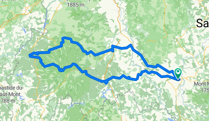
- De 25–27 Boulevard Docteur André Chantemesse, Aiguilhe à D986, Sainte-Enimie
- Distance
- 117.4 km
- Ascent
- 2,254 m
- Descent
- 2,394 m
- Location
- Espaly-Saint-Marcel, Auvergne-Rhône-Alpes, France
- De Clos de la Citadelle à Rue Raynaud
- Distance
- 133.8 km
- Ascent
- 2,206 m
- Descent
- 2,527 m
- Location
- Espaly-Saint-Marcel, Auvergne-Rhône-Alpes, France
- De 11–23Bis Boulevard Docteur André Chantemesse, Aiguilhe à Boulevard Britexte, Mende
- Distance
- 94.3 km
- Ascent
- 1,765 m
- Descent
- 1,656 m
- Location
- Espaly-Saint-Marcel, Auvergne-Rhône-Alpes, France
- Route de Massif Central - take 1
- Distance
- 362.1 km
- Ascent
- 5,810 m
- Descent
- 5,788 m
- Location
- Espaly-Saint-Marcel, Auvergne-Rhône-Alpes, France
- le PUY- l'HERM nog verder naar Monastier
- Distance
- 17.6 km
- Ascent
- 575 m
- Descent
- 324 m
- Location
- Espaly-Saint-Marcel, Auvergne-Rhône-Alpes, France
- Le Puy koloman
- Distance
- 617.1 km
- Ascent
- 2,269 m
- Descent
- 2,912 m
- Location
- Espaly-Saint-Marcel, Auvergne-Rhône-Alpes, France
Open it in the app