Rund um Dreifelder Weiher - mit Anlauf
A cycling route starting in Mogendorf, Rhineland-Palatinate, Germany.
Overview
About this route
- -:--
- Duration
- 44.4 km
- Distance
- 392 m
- Ascent
- 438 m
- Descent
- ---
- Avg. speed
- ---
- Avg. speed
Continue with Bikemap
Use, edit, or download this cycling route
You would like to ride Rund um Dreifelder Weiher - mit Anlauf or customize it for your own trip? Here is what you can do with this Bikemap route:
Free features
- Save this route as favorite or in collections
- Copy & plan your own version of this route
- Sync your route with Garmin or Wahoo
Premium features
Free trial for 3 days, or one-time payment. More about Bikemap Premium.
- Navigate this route on iOS & Android
- Export a GPX / KML file of this route
- Create your custom printout (try it for free)
- Download this route for offline navigation
Discover more Premium features.
Get Bikemap PremiumFrom our community
Other popular routes starting in Mogendorf
- Rund um Dreifelder Weiher - mit Anlauf
- Distance
- 44.4 km
- Ascent
- 392 m
- Descent
- 438 m
- Location
- Mogendorf, Rhineland-Palatinate, Germany
- Mogendorf Mainz
- Distance
- 84.1 km
- Ascent
- 873 m
- Descent
- 1,066 m
- Location
- Mogendorf, Rhineland-Palatinate, Germany
- Im Zugemäch 39, Mogendorf nach Vormaystraße 11, Polch
- Distance
- 46.9 km
- Ascent
- 539 m
- Descent
- 611 m
- Location
- Mogendorf, Rhineland-Palatinate, Germany
- Krugbäckerstraße 17, Mogendorf nach Im Zipfen 2, Höhr-Grenzhausen
- Distance
- 10.1 km
- Ascent
- 233 m
- Descent
- 276 m
- Location
- Mogendorf, Rhineland-Palatinate, Germany
- pesho
- Distance
- 6.9 km
- Ascent
- 22 m
- Descent
- 94 m
- Location
- Mogendorf, Rhineland-Palatinate, Germany
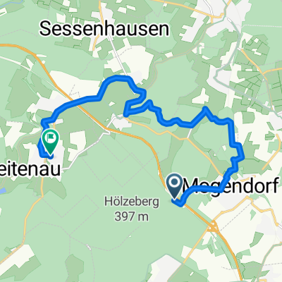
- Vielbacher Weg 7, Mogendorf nach Hauptstraße 25, Boden
- Distance
- 9.4 km
- Ascent
- 117 m
- Descent
- 147 m
- Location
- Mogendorf, Rhineland-Palatinate, Germany
- Auf dem Stein 21, Siershahn nach Marktplatz 5, Ransbach-Baumbach
- Distance
- 5.2 km
- Ascent
- 40 m
- Descent
- 45 m
- Location
- Mogendorf, Rhineland-Palatinate, Germany
- iÍ߲°? nach Äc∫˛?
- Distance
- 12.1 km
- Ascent
- 211 m
- Descent
- 300 m
- Location
- Mogendorf, Rhineland-Palatinate, Germany
Open it in the app