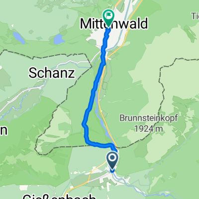
Gießenbach - Isarursprung
- 15.3 km
- 272 m
- 113 m
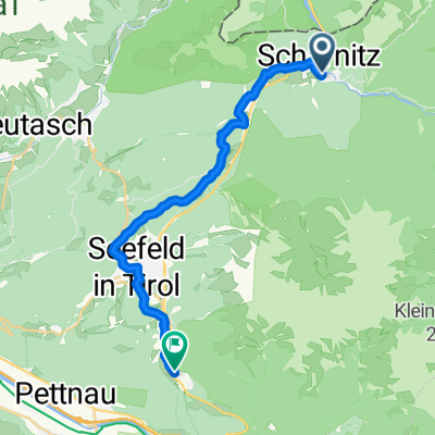
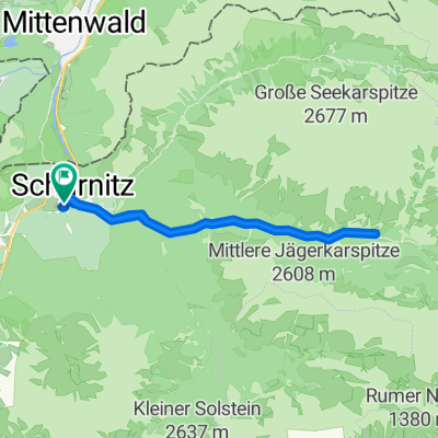
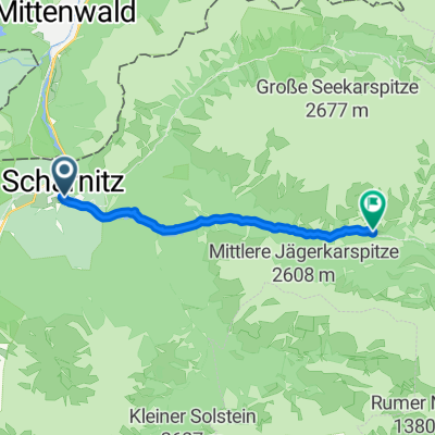
- Scharnitz, Tyrol, Austria
A cycling route starting in Scharnitz, Tyrol, Austria.
Overview
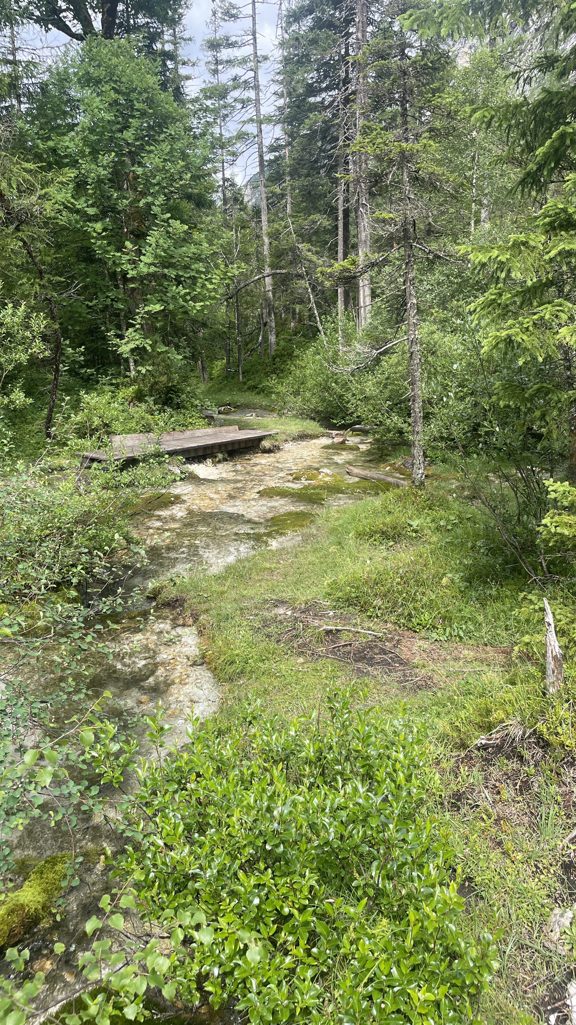
One of the most beautiful tours in the Karwendel leads from the Gießenbach parking lot through the narrow Gießenbachklamm to the Oberbrunnalm. From here, the valley widens, and you descend into the Gleirschtal and continue to the Möslalm. This mountain bike tour can also be tackled by cyclists with weaker stamina. Up to about 250 m below the Pfeishütte, the ascent is relatively flat. From there it becomes really steep and very difficult to ride. Those who want can park their bike in storage and continue on foot. Those who want to avoid the climbs on the return trip can ride out of the Gleirschtal towards Scharnitz and return to the parking lot at Gießenbach via field paths.
created this 16 years ago
Route highlights
Oberbrunnalm
Möslalm
Continue with Bikemap
You would like to ride Gießenbach - Pfeishütte or customize it for your own trip? Here is what you can do with this Bikemap route:
Free trial for 3 days, or one-time payment. More about Bikemap Premium.
Discover more Premium features.
Get Bikemap PremiumFrom our community
Open it in the app